graphic-art, print, engraving
#
graphic-art
#
baroque
# print
#
engraving
Dimensions: height 205 mm, width 273 mm
Copyright: Rijks Museum: Open Domain
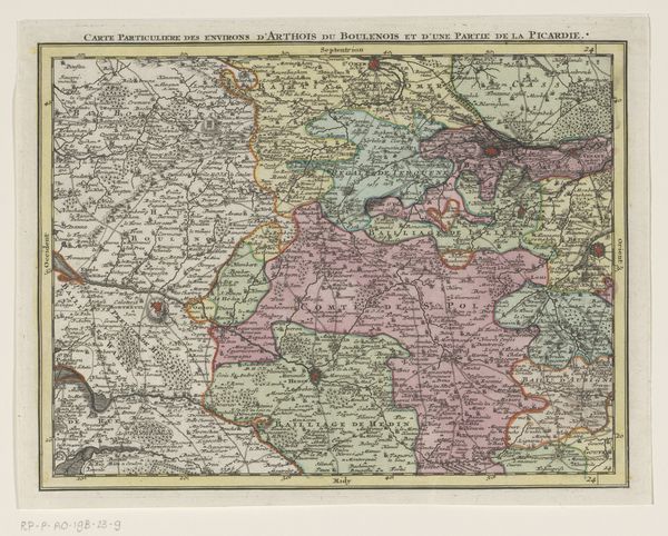
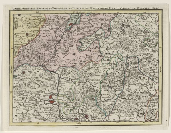
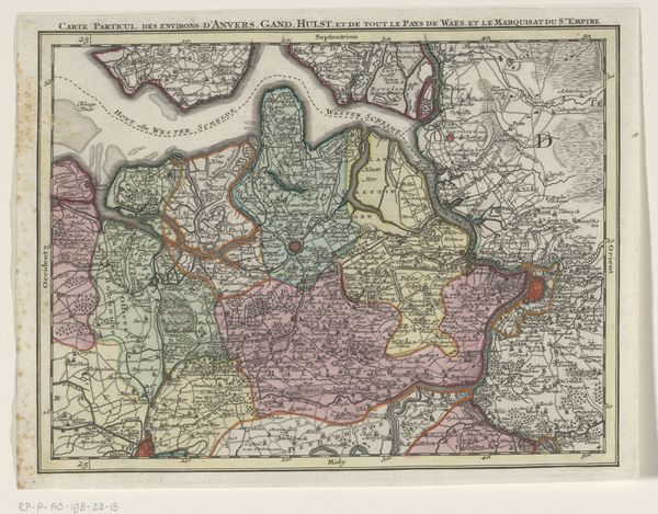
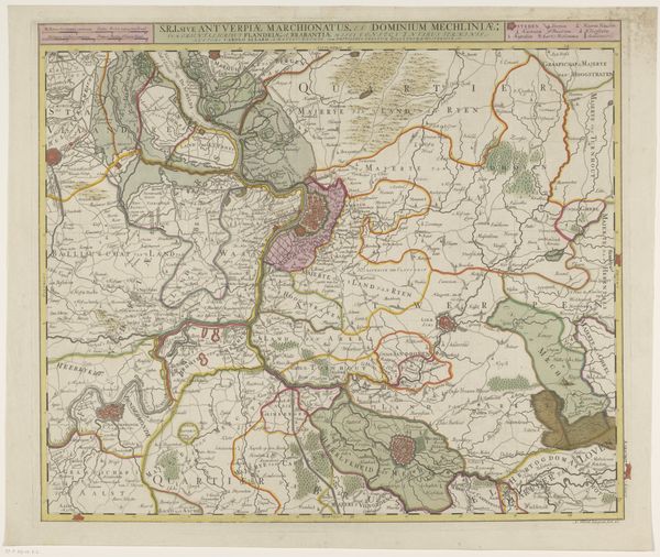
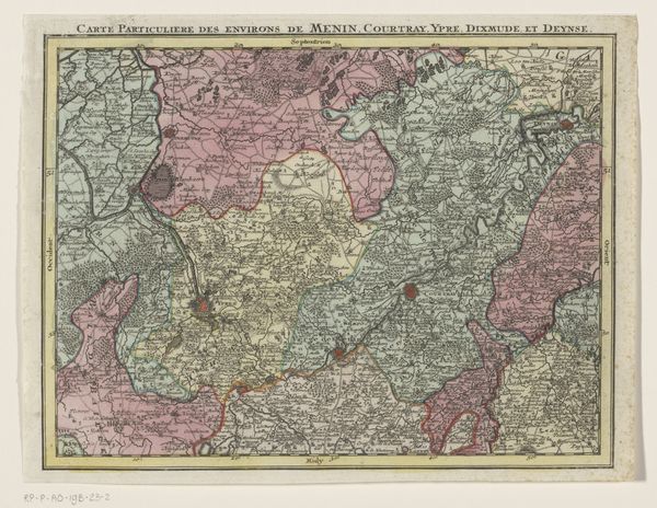
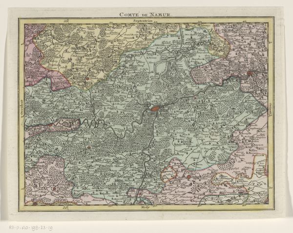
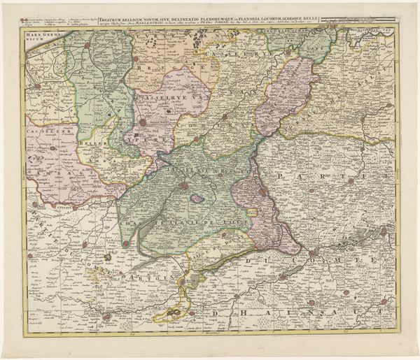
Tobias Conrad Lotter created this section of a map of the Austrian Netherlands some time in the mid-18th century. But this isn't just a neutral record of geographical features. Consider the role maps played in solidifying state power. In Lotter's time, maps were instruments of governance, helping rulers administer and defend their territories. The meticulous detail seen here—the careful delineation of borders, cities, and topographical features—served very practical, political purposes. Note how the boundaries of land are coloured to show ownership. The very act of mapping was a way of claiming possession and control. To truly understand this map, we might consult period documents, such as military records, trade agreements, or administrative reports. These could reveal how this image was deployed in the service of political and economic ambitions. For the art historian, maps remind us that all images are created within a specific social and institutional context.
Comments
No comments
Be the first to comment and join the conversation on the ultimate creative platform.
More like this