print, etching, engraving
#
aged paper
#
naturalistic pattern
#
baroque
# print
#
etching
#
old engraving style
#
landscape
#
history-painting
#
academic-art
#
natural palette
#
engraving
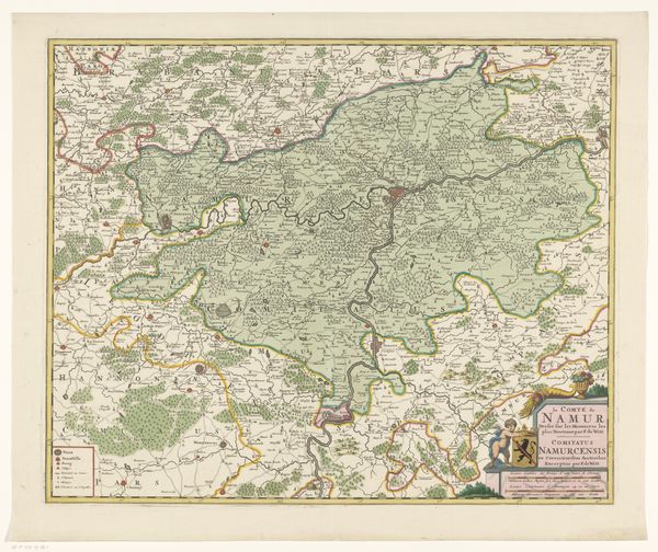
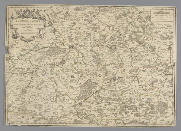
Dimensions: height 492 mm, width 603 mm
Copyright: Rijks Museum: Open Domain
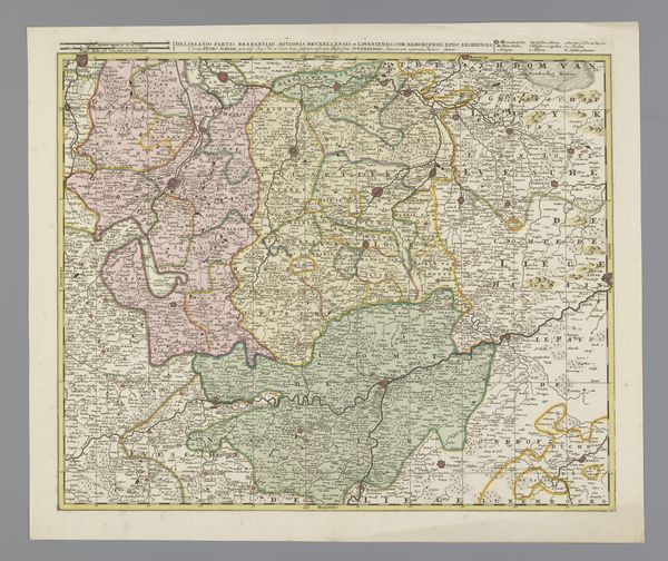
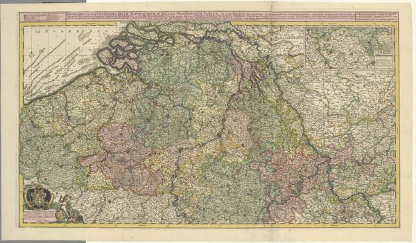
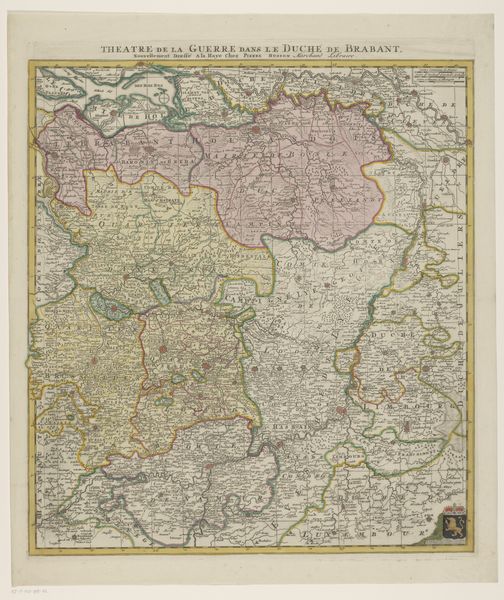
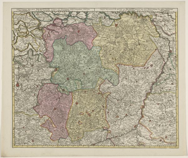
This map of the county of Hainaut is an engraving, printed on paper. Because it is unsigned, we don’t know who made it, nor exactly when. But we can still learn a lot from its making. The act of engraving involves a skilled hand, patiently carving into a metal plate. That plate would then be inked and pressed onto paper, transferring the image. Look closely, and you can see the fine lines that define borders, rivers, and towns. Each tiny mark represents a deliberate choice, made by the engraver. The application of color would have been yet another phase of the production process. Maps like these were not just about geography. They were about power, control, and the ambition to survey and manage territory. The very act of mapping asserts a kind of dominion. So, in this unassuming piece of paper, we see not just a representation of a place, but a reflection of the social and political forces at play in its making. It is a matrix of craft and early capitalism.
Comments
No comments
Be the first to comment and join the conversation on the ultimate creative platform.
More like this