print, engraving
#
baroque
# print
#
old engraving style
#
tea stained
#
pen work
#
history-painting
#
engraving
Dimensions: height 500 mm, width 583 mm
Copyright: Rijks Museum: Open Domain
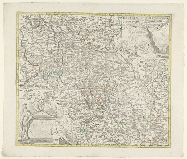
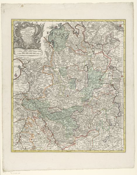
This is an undated map of Germany, made anonymously. It's title, "Kaart van Duitsland", identifies it as being of Dutch origin. Maps were more than just geographical tools; they were powerful political statements. This map reflects a specific worldview, emphasizing certain territories and downplaying others, reinforcing cultural narratives and power structures of the time. The choice of language, the borders defined, and even the artistic style all contribute to a particular representation of Germany and its place in the European landscape. Consider the potential patronage behind this map. Was it commissioned by a state institution, a wealthy merchant, or perhaps a scholarly society? Each would have different motivations and agendas shaping its production. Understanding the institutional context helps us decode the map's underlying message and appreciate its significance beyond mere cartography. By consulting historical archives, correspondence, and other period documents, we can uncover the social and political forces that shaped its creation and reception. The map of Germany serves as a reminder that art is never created in a vacuum, but is always embedded in a complex web of social, cultural, and institutional histories.
Comments
No comments
Be the first to comment and join the conversation on the ultimate creative platform.
More like this