graphic-art, print, engraving
#
graphic-art
# print
#
pen sketch
#
pencil sketch
#
old engraving style
#
engraving
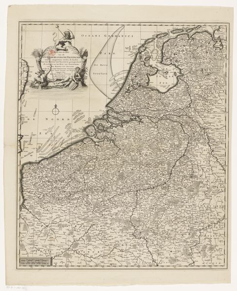
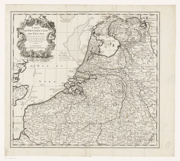
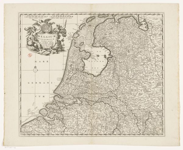
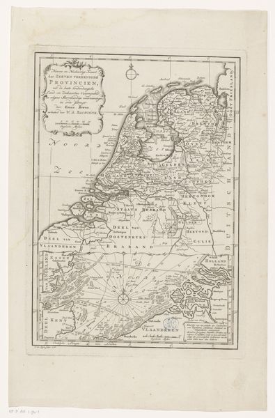
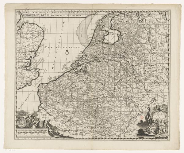
Dimensions: height 600 mm, width 490 mm
Copyright: Rijks Museum: Open Domain
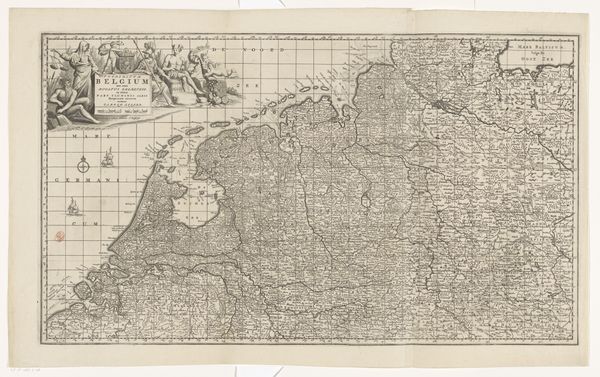
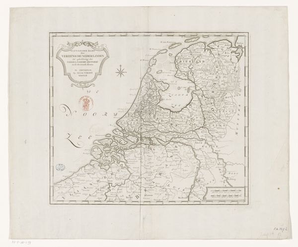
Gerard Valck etched this map of the Seventeen Provinces, capturing a pivotal moment in European history and cultural identity. The gridlines and precise borders, symbols of human attempts to control and define space, overlay a land rich with historical weight. Consider how maps throughout history have served not just as guides, but as assertions of power. From the Roman "Tabula Peutingeriana" to modern satellite images, the act of mapping is an act of claiming. In Valck's map, the detailed rendering of cities and waterways speaks to the economic and strategic importance of this region, then a nexus of trade and conflict. Notice the inscription at the top, a testament to the region's complex political landscape. It’s a cartographic representation of a collective desire for order amidst the shifting sands of time. These symbols resurface, evolve, and take on new meanings in different historical contexts.
Comments
No comments
Be the first to comment and join the conversation on the ultimate creative platform.
More like this