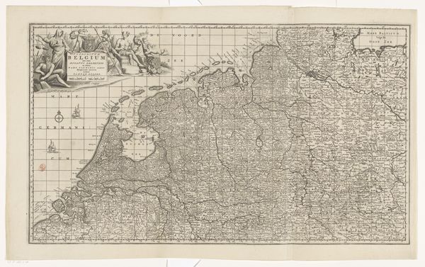
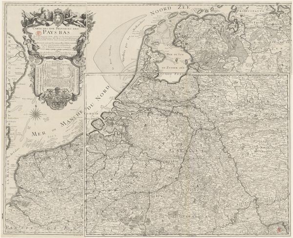
Kaart van de Republiek der Zeven Verenigde Nederlanden en een deel van het Heilige Roomse Rijk 1690
0:00
0:00
anonymous
Rijksmuseum
drawing, print, engraving
#
drawing
#
dutch-golden-age
# print
#
pen sketch
#
engraving
Dimensions: height 450 mm, width 860 mm
Copyright: Rijks Museum: Open Domain
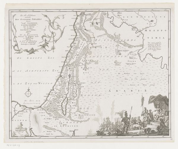
This is an anonymous map of the Republic of the Seven United Netherlands and part of the Holy Roman Empire. The visual structure is immediately striking. The map uses a dense network of lines to define borders, waterways, and topographical features. Notice how the cartographer employs detailed engravings to create a textured surface, differentiating land from sea, and illustrating settlements and natural features. The composition balances the factual with the symbolic: a decorative cartouche featuring allegorical figures and maritime elements anchors the map visually, yet contrasts with the highly detailed geographical data. This blend of science and art speaks to the period's shifting perceptions of space and knowledge. Here, each element functions as a sign within the semiotic system of cartography, intended to inform and persuade the viewer. The map is more than just a representation of space; it is a complex cultural document. Consider how the abstract grid of lines and points flattens the complexities of lived experience into a set of measurable and controllable elements. As you reflect on this artwork, think about how these systems of representation both reveal and conceal the realities they claim to depict.
Comments
No comments
Be the first to comment and join the conversation on the ultimate creative platform.
More like this