graphic-art, print, engraving
#
graphic-art
# print
#
old engraving style
#
geometric
#
engraving
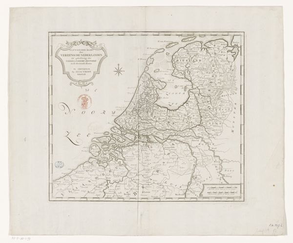
Dimensions: height 330 mm, width 235 mm
Copyright: Rijks Museum: Open Domain
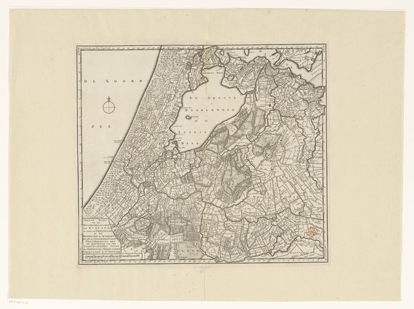
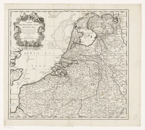
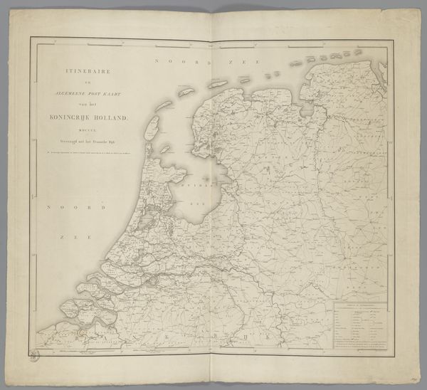
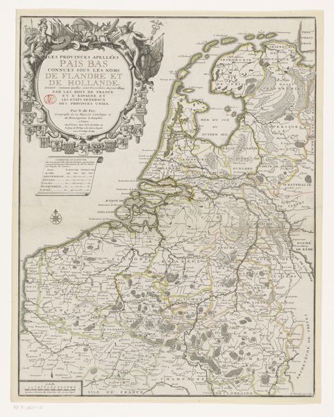
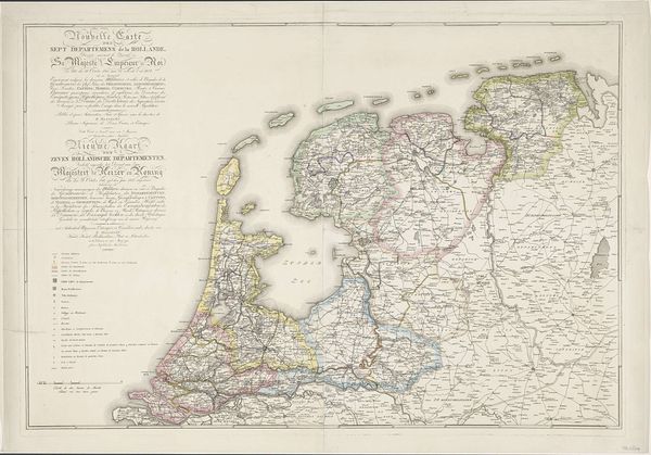
Jan van Jagen created this map of The Republic of the Seven United Netherlands in the 18th century, a period marked by significant shifts in European power dynamics and national identity formation. This map offers more than geographical data; it is a statement of identity during a time of political and cultural transformation. The detailed rendering of the Republic’s provinces reflects a burgeoning sense of national pride and unity. Consider the emotional weight of such cartography during an era defined by both the Enlightenment’s universalizing tendencies and the rise of distinct national identities. The map’s meticulous detail suggests a society deeply invested in understanding and representing itself. It invites us to reflect on how maps not only depict physical space but also construct and reinforce societal narratives and power structures. The map is as much a political document as it is a tool for navigation. It mirrors a society grappling with its place in an evolving world order, and offers a glimpse into the collective identity of a nation on the rise.
Comments
No comments
Be the first to comment and join the conversation on the ultimate creative platform.
More like this