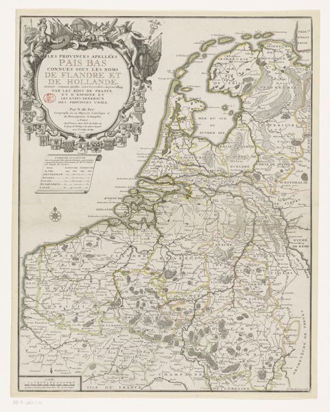
print, etching, paper, engraving
#
neoclacissism
# print
#
etching
#
landscape
#
paper
#
cityscape
#
engraving
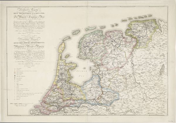
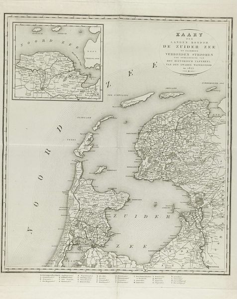
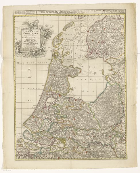
Dimensions: height 808 mm, width 960 mm
Copyright: Rijks Museum: Open Domain
This map of the Kingdom of Holland with its postal routes, was printed anonymously, using the technique of engraving. Look closely, and you’ll see that the crisp lines defining the landscape and transport networks were carved into a metal plate, likely copper, with incredible precision. The plate would then be inked, and pressed onto paper to produce multiple, identical images. Engraving was a highly skilled craft, demanding years of training. This map would have been a luxury item, for use by merchants and state officials who relied on postal services to move goods and information. The act of printing transforms information into a commodity, available on a mass scale. But the human labor required to make each impression means that the map retains the traces of its making. It invites us to reflect on the vast infrastructures of communication, labor, and distribution that underpin everyday life. By valuing the skill involved, we recognize the map not just as a document, but as a testament to human ingenuity and effort.
Comments
No comments
Be the first to comment and join the conversation on the ultimate creative platform.
More like this