drawing, graphic-art, print, etching, engraving
#
drawing
#
graphic-art
#
dutch-golden-age
# print
#
etching
#
old engraving style
#
geometric
#
line
#
history-painting
#
engraving
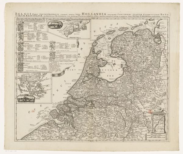
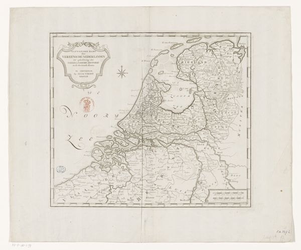
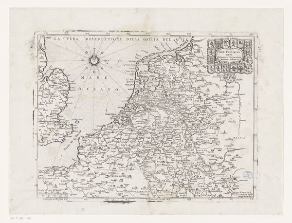
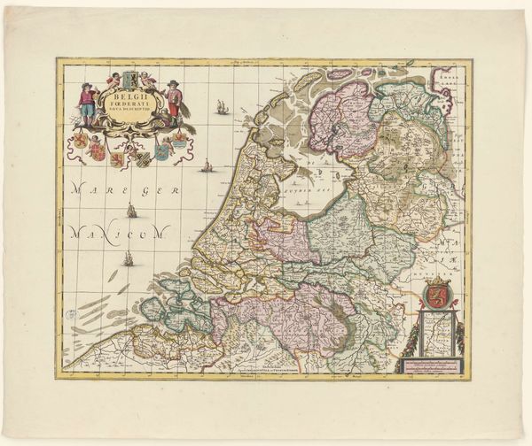
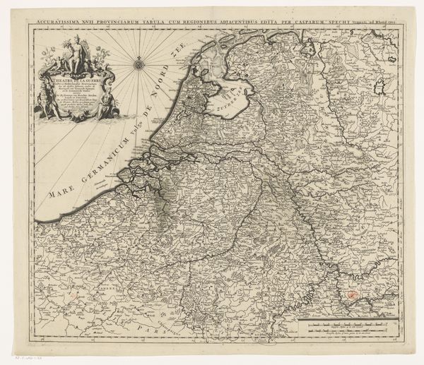
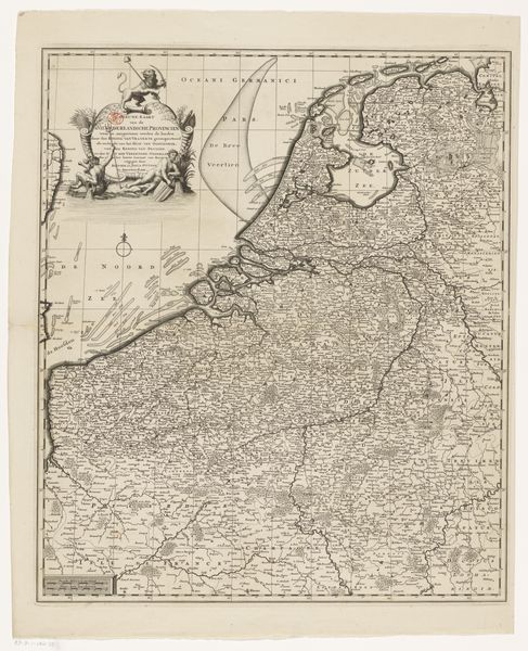
Dimensions: height 412 mm, width 453 mm
Copyright: Rijks Museum: Open Domain
Curator: This is a 1722 engraving entitled "Kaart van de Zeventien Provinciën," or "Map of the Seventeen Provinces." Editor: It’s a marvelously precise thing, isn’t it? Look at the delicacy of the engraved lines. Almost architectural in its detail, all these minute strokes creating a vast network of geography. Curator: Indeed. The meticulous craftsmanship is something to behold. Maps, of course, aren’t simply neutral depictions of geography. They serve as potent symbols. Editor: Absolutely. Think of the sheer labour invested in such a project, all those hands involved in production and dissemination. Each print, a multiplication of the original artistic intention. The paper itself… where was it made? Curator: Here we see not just geography, but also claims to power. Note the cartouche with figures representing the provinces – symbols of unity and prosperity. Maps project dominance; defining boundaries defines control. This area was politically fraught, contested space between empires, so this is also about establishing an idea. Editor: And look at how strategically the waterways are rendered. In a sense, it is infrastructure visualized. An investment in and utilization of material resources is recorded on paper. A kind of promotional illustration as well, showing off how well managed these landscapes were becoming. Curator: Consider, too, the tradition this print comes from: Dutch Golden Age cartography was renowned, shaping not only the practical knowledge of navigation, but also a symbolic understanding of the world and the place of the Netherlands within it. Editor: These visual depictions standardized trade routes and influenced colonial activities, directly impacting human and environmental ecologies. Even something that appears this neutral can reveal exploitation on closer examination. Curator: Well, examining cartography reminds us that even technical drawings possess embedded ideologies and symbolic value. They reflect both an attempt to accurately record and a desire to shape how people view and engage with their surroundings. Editor: Yes, and maps can act as evidence of systems that might otherwise escape attention. When seen as part of an elaborate social structure, the image’s original function expands beyond way-finding, becoming historical accounting.
Comments
No comments
Be the first to comment and join the conversation on the ultimate creative platform.
More like this