print, engraving
#
baroque
# print
#
engraving
Dimensions: height 492 mm, width 593 mm
Copyright: Rijks Museum: Open Domain
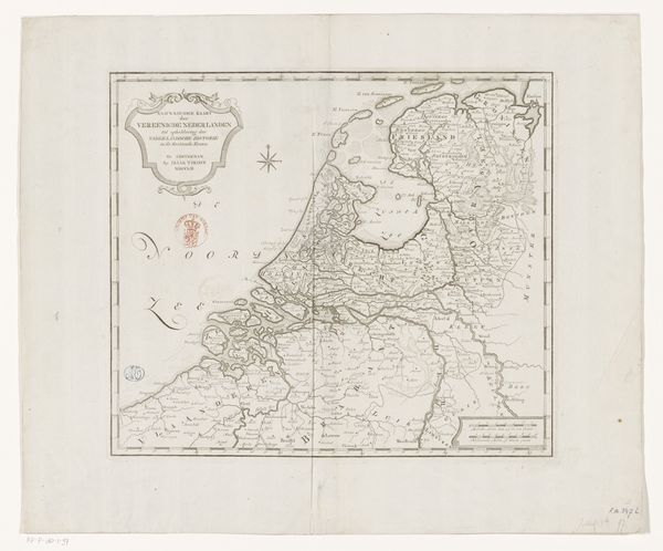
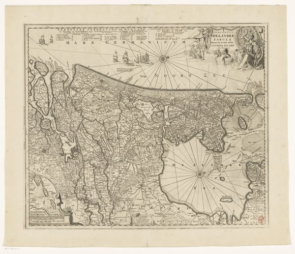
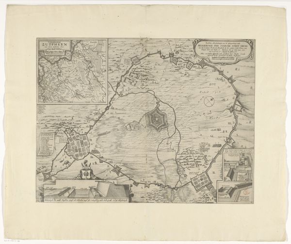
This is Pieter Schenk’s map of the Dutch Republic, an engraving that offers a cartographic snapshot of the Netherlands during its Golden Age. Consider the power dynamics embedded within this seemingly objective representation of land. Who gets to define and delineate territory, and whose perspectives are centered in this act of mapping? Schenk, as a cartographer, wielded a certain authority in shaping perceptions of space and belonging. The map isn't just a neutral depiction of geography. It's a statement of sovereignty, etched with cultural and political implications. Notice the ornate details, like the coats of arms, reflecting the pride and identity of the Dutch provinces. But who is absent from this picture? What about the perspectives of marginalized communities, or those whose lives were impacted by Dutch colonialism and trade? As you consider the map, reflect on its role in shaping national identity and consider whose stories it leaves untold. It invites us to question the narratives we inherit and to seek out alternative perspectives that complicate our understanding of the past.
Comments
No comments
Be the first to comment and join the conversation on the ultimate creative platform.
More like this