print, engraving
#
dutch-golden-age
# print
#
old engraving style
#
engraving
Dimensions: height 295 mm, width 390 mm
Copyright: Rijks Museum: Open Domain
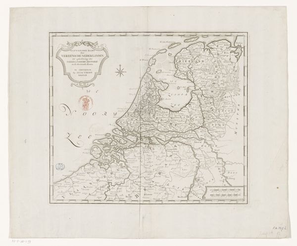
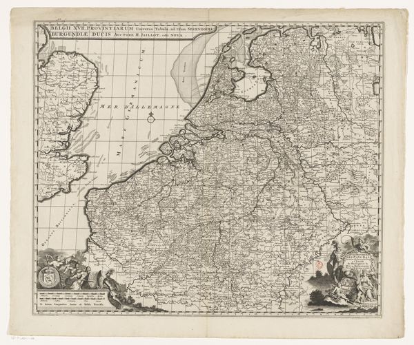
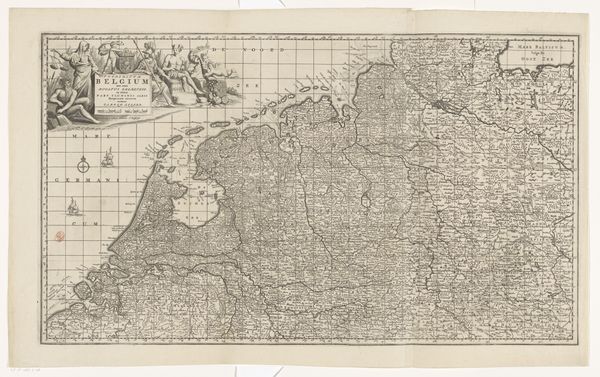
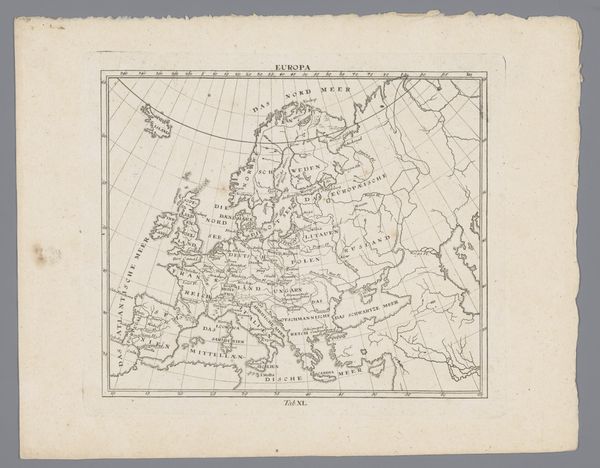
Stefano Scolari created this map of the Seventeen Provinces, using engraving. Maps like this one weren’t just about geography. They were deeply tied to political power and national identity. The Seventeen Provinces, encompassing parts of modern-day Netherlands, Belgium, and Luxembourg, were a hotbed of political and religious tension. The map reflects the complex social structures of its time. It was made during a period of upheaval, with the Dutch Republic fighting for independence from Spanish rule. The detailed depiction of cities and regions underscores their economic and strategic importance in the conflict. The very act of mapping was an assertion of control and a way to define territory amidst ongoing battles. By studying maps alongside other historical sources, such as political pamphlets, economic records, and personal letters, we can start to see how images were actively shaping and responding to the world around them. The meaning of art is always contingent on social and institutional context.
Comments
No comments
Be the first to comment and join the conversation on the ultimate creative platform.
More like this