About this artwork
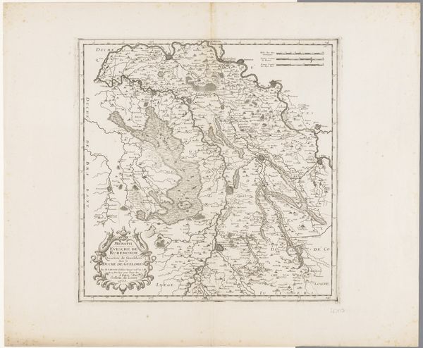
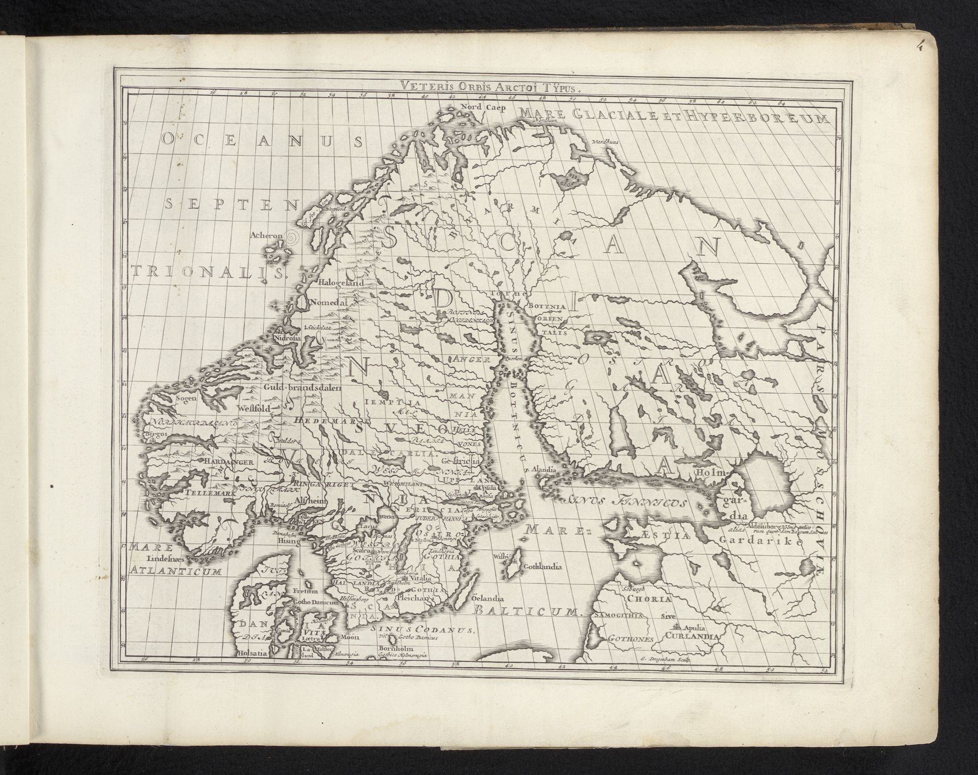
Curator: Welcome. Before us, we have a map titled "Kaart van de Scandinavische landen in de oude tijd" – that's "Map of Scandinavian countries in ancient times," created in 1695 by Gerrit Drogenham. The media consists of ink and engraving on paper. Editor: Immediately, I’m struck by how sparse yet purposeful it feels. A lot of empty space, yet the shapes, lines, and place-names carry weight. It’s like a symbolic landscape as much as a geographical one. Curator: Indeed, the cartography suggests an engagement with older traditions of mapmaking; consider the deliberate use of engraving to mimic the look and feel of ancient documents, the way the artist has employed particular labor intensive engraving methods that might speak to its purpose of legitimization and authentication. Editor: Yes, observe how water becomes a liminal space teeming with possibility, even monsters perhaps, while inland is neatly labeled, offering legibility and the illusion of control. The compass lines themselves are incredibly symbolic. Curator: Exactly. Note the process. Creating prints for wider distribution wasn't about pure aesthetic beauty but accessibility, how these images participated in creating public discourse and the shared imagined territory. It's crucial to look into its reception within society to understand the value placed on images. Editor: And those old Latin labels—Oeeanus Septentrionalis! Mare Glaciale!— they carry the weight of centuries. They instantly evoke ideas of exploration and of historical texts, which gives us context as to how this piece would have made people feel and react to the knowledge contained on this print. It seems intended to create a sense of authority through historical and stylistic allusion. Curator: Precisely. Drogenham's material and approach, his chosen way of production were deeply connected to how this image and maps in general would be received at the time. And, furthermore, who exactly would this material reach and what type of political power that would create. Editor: Seeing this old map, the landscape that the piece conveys gives way to thoughts about the flow of meaning across time. It reveals cultural memory in tangible forms. Curator: A worthwhile piece that bridges practical needs and enduring symbolic resonance and material history. Editor: A little gateway, indeed, to viewing how visual history still affects our present world.
Artwork details
- Medium
- drawing, print, paper, ink, engraving
- Dimensions
- height 272 mm, width 334 mm
- Copyright
- Rijks Museum: Open Domain
Tags
Comments
Share your thoughts
About this artwork
Curator: Welcome. Before us, we have a map titled "Kaart van de Scandinavische landen in de oude tijd" – that's "Map of Scandinavian countries in ancient times," created in 1695 by Gerrit Drogenham. The media consists of ink and engraving on paper. Editor: Immediately, I’m struck by how sparse yet purposeful it feels. A lot of empty space, yet the shapes, lines, and place-names carry weight. It’s like a symbolic landscape as much as a geographical one. Curator: Indeed, the cartography suggests an engagement with older traditions of mapmaking; consider the deliberate use of engraving to mimic the look and feel of ancient documents, the way the artist has employed particular labor intensive engraving methods that might speak to its purpose of legitimization and authentication. Editor: Yes, observe how water becomes a liminal space teeming with possibility, even monsters perhaps, while inland is neatly labeled, offering legibility and the illusion of control. The compass lines themselves are incredibly symbolic. Curator: Exactly. Note the process. Creating prints for wider distribution wasn't about pure aesthetic beauty but accessibility, how these images participated in creating public discourse and the shared imagined territory. It's crucial to look into its reception within society to understand the value placed on images. Editor: And those old Latin labels—Oeeanus Septentrionalis! Mare Glaciale!— they carry the weight of centuries. They instantly evoke ideas of exploration and of historical texts, which gives us context as to how this piece would have made people feel and react to the knowledge contained on this print. It seems intended to create a sense of authority through historical and stylistic allusion. Curator: Precisely. Drogenham's material and approach, his chosen way of production were deeply connected to how this image and maps in general would be received at the time. And, furthermore, who exactly would this material reach and what type of political power that would create. Editor: Seeing this old map, the landscape that the piece conveys gives way to thoughts about the flow of meaning across time. It reveals cultural memory in tangible forms. Curator: A worthwhile piece that bridges practical needs and enduring symbolic resonance and material history. Editor: A little gateway, indeed, to viewing how visual history still affects our present world.
Comments
Share your thoughts