print, paper, engraving
#
baroque
#
ink paper printed
# print
#
landscape
#
paper
#
islamic-art
#
engraving
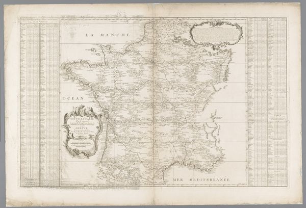
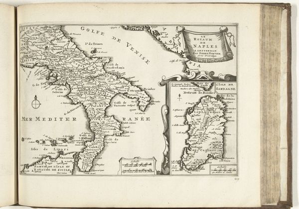
Dimensions: height 492 mm, width 604 mm
Copyright: Rijks Museum: Open Domain
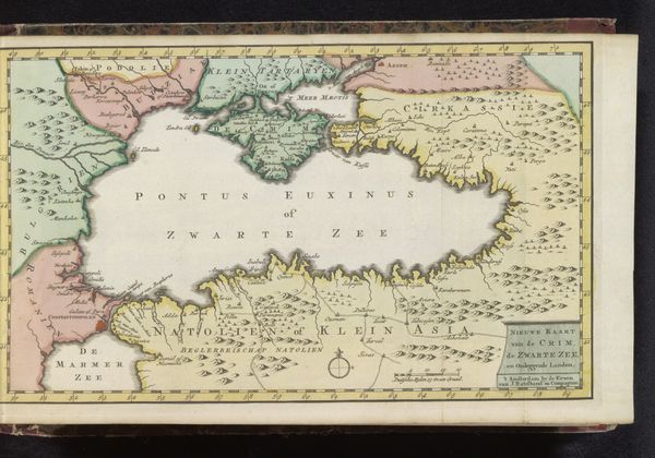
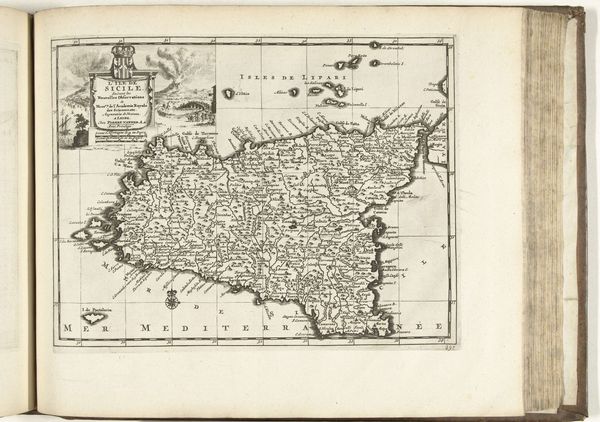
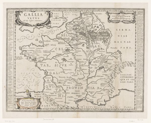
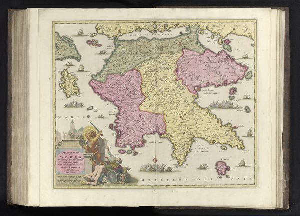
This is an anonymous map of Brittany and surrounding areas, presented as an open book. The delicate lines and muted colors create a detailed yet somewhat faded visual experience, evoking the feel of historical cartography. The map's structure invites us to consider how spatial relationships were conceived and represented in its time. Notice the fine lines depicting borders, rivers, and topographical features. These elements form a complex network, a semiotic system that communicates geographical and political information. The layout of the map isn't just a neutral depiction; it embodies specific perspectives, encoding power dynamics and cultural values related to territory and knowledge. Consider how the map employs signs to represent real-world locations and features. The conventions used—symbols for cities, shading for elevation—are not self-evident but are culturally determined codes. This challenges the notion of a map as a purely objective tool, revealing it as a constructed representation, shaped by particular worldviews and intentions. We can see that the map doesn't simply reflect reality, but actively shapes our understanding of space.
Comments
No comments
Be the first to comment and join the conversation on the ultimate creative platform.
More like this