print, engraving
#
aged paper
# print
#
old engraving style
#
geometric
#
history-painting
#
academic-art
#
engraving
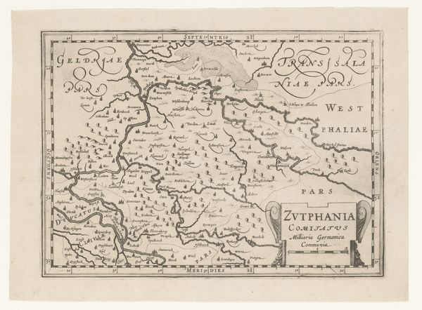
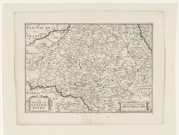
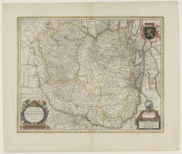
Dimensions: height 375 mm, width 500 mm
Copyright: Rijks Museum: Open Domain
This map of ancient Gaul, created by Josua van den Enden in 1627, presents a landscape teeming with symbolic life. Observe the cartouches, the ornamental frames, and the meticulous rendering of geographical features—each element speaks to a desire to capture and control the world through representation. But consider the names inscribed upon the land: "Gallia Vetus," "Germania Magnae Pars." These are not merely labels; they are echoes of Roman ambition, of Caesar’s conquests. The act of mapping, in itself, becomes a symbolic gesture, a way of imposing order and asserting dominion. This impulse to define and categorize resonates across centuries. We see it mirrored in ancient Egyptian cosmological maps, in medieval mappa mundi, and even in modern-day satellite imagery. Each attempts to grapple with the unknown, to chart the boundaries of our existence. The cyclical nature of this drive speaks to a deep-seated human need, a collective memory urging us to make sense of our place in the cosmos. This map, therefore, is not just a historical document but a mirror reflecting our perpetual quest for understanding and mastery.
Comments
No comments
Be the first to comment and join the conversation on the ultimate creative platform.
More like this