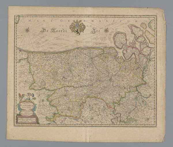
print, etching, engraving
# print
#
etching
#
geometric
#
cityscape
#
history-painting
#
engraving
Dimensions: height 33.3 cm, width 49.2 cm
Copyright: Rijks Museum: Open Domain
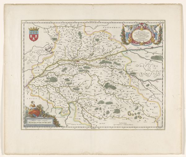
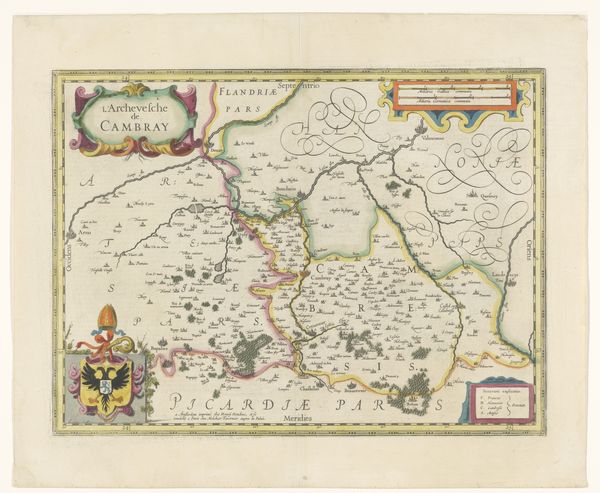
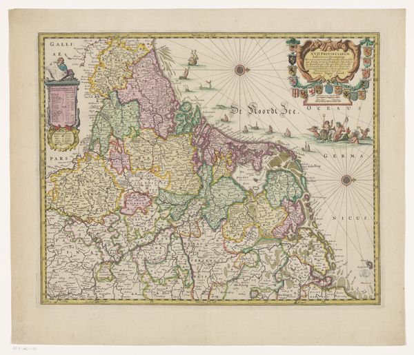
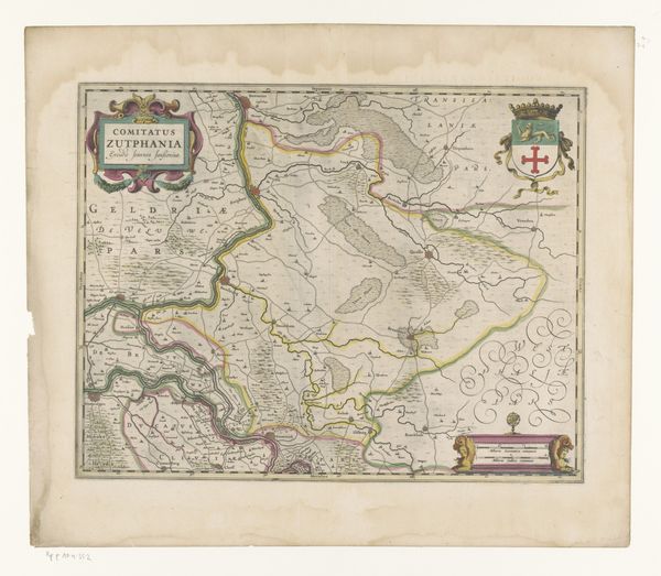
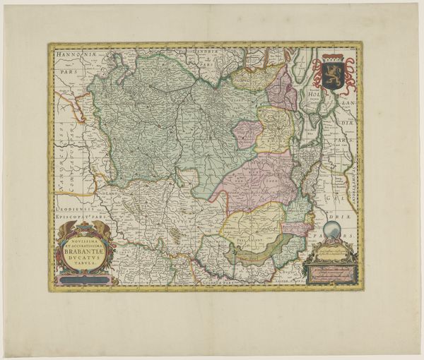
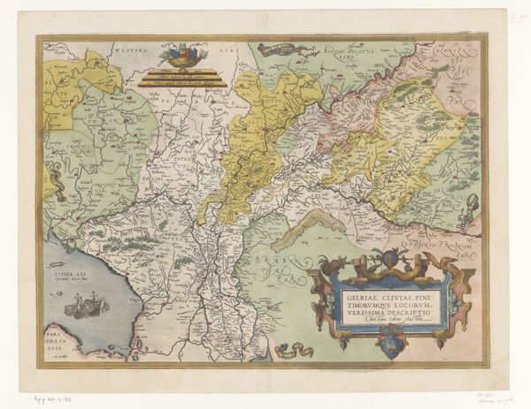
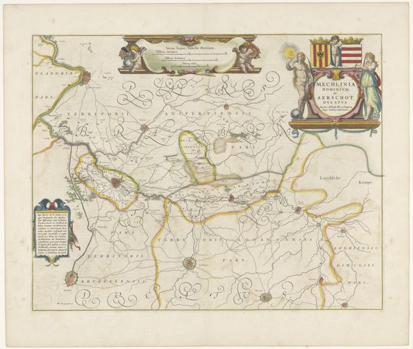
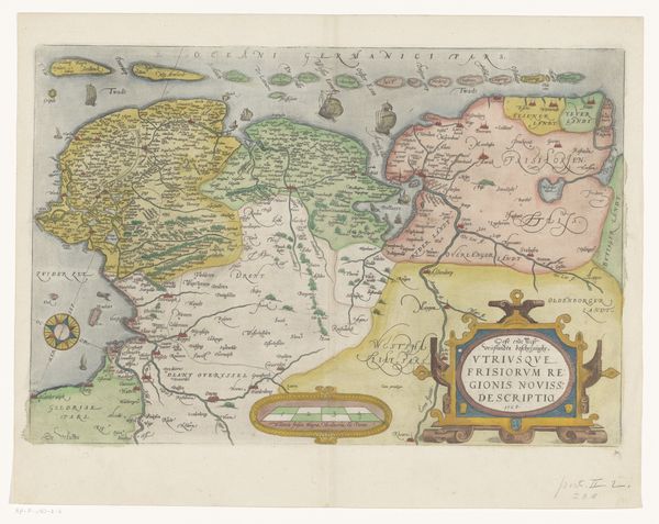
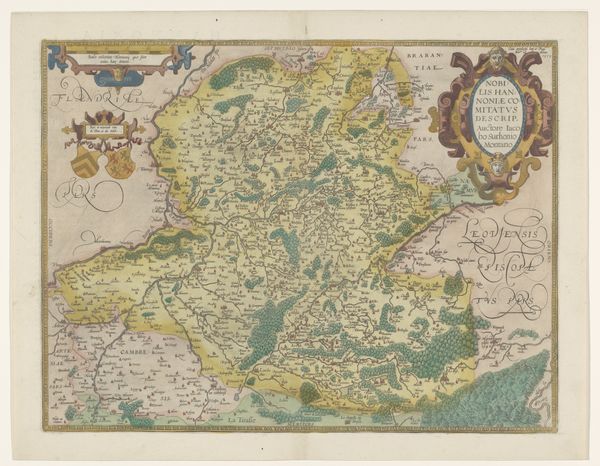
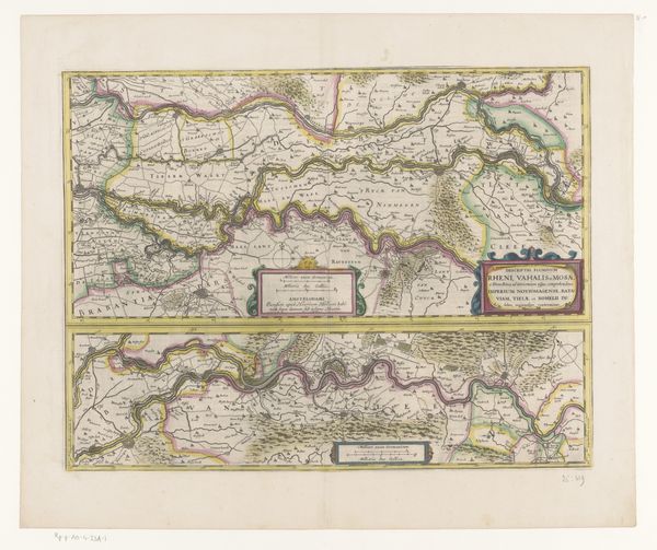
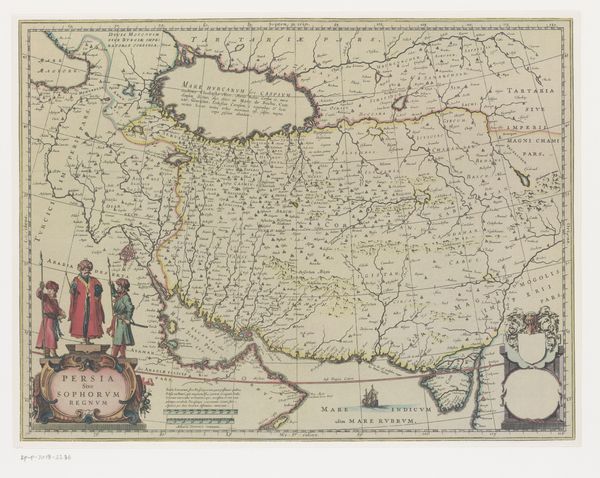
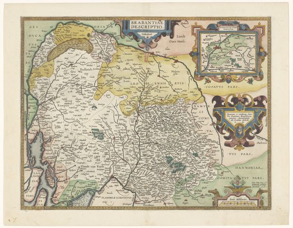
This is Vernando Alvaro Secco’s “Kaart van Portugal,” a map whose date is unknown but offers insight into Portugal through the eyes of its cartographer. Consider the political and economic context in which this map was made. During this period, maps were not just geographical tools but statements of power, used to demarcate territories, trade routes, and colonial claims. This map reflects an early, emerging global consciousness. The ornamental details—the ships sailing on the ocean, the coats of arms—speak to Portugal's maritime power. The map meticulously marks cities, rivers, and regions, suggesting an effort to catalog and control the land. As you look closer, think about the stories that aren’t told here, about those who lived and worked on the land and how the colonizing eye views it. Maps like these were instruments for navigation and tools for nation-building. Take a moment to reflect on how such maps have shaped our understanding of the world.
Comments
No comments
Be the first to comment and join the conversation on the ultimate creative platform.
