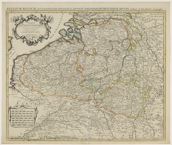
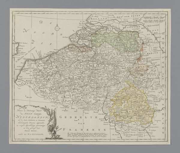
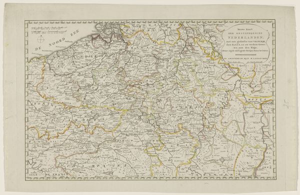
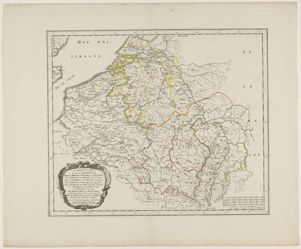
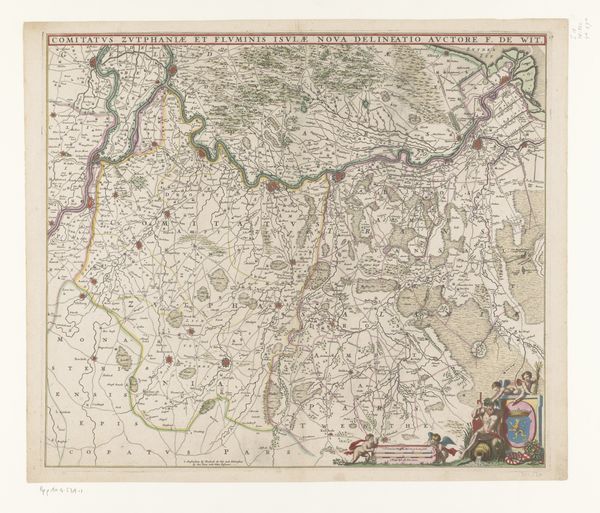
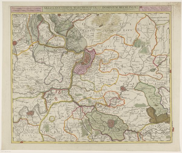
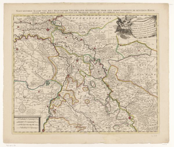
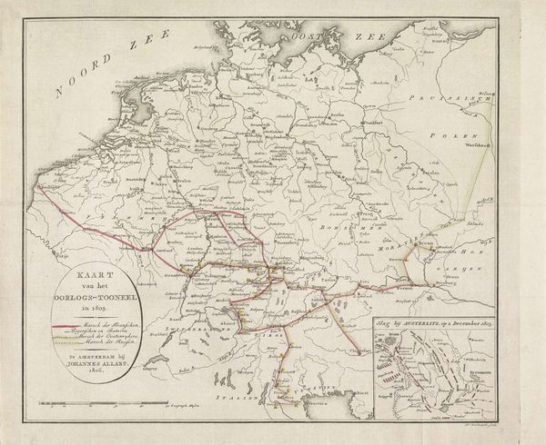
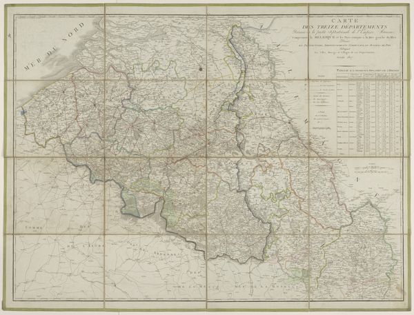
Kaart van de verdeling van de zuidelijke provinciën van Nederland na de vrede van Utrecht, Restatt en Antwerpen 1737
0:00
0:00
print, engraving
#
map drawing
#
baroque
# print
#
landscape
#
engraving
Dimensions: height 471 mm, width 617 mm
Copyright: Rijks Museum: Open Domain
P. Starckman created this map of the southern provinces of the Netherlands following the treaties of Utrecht, Rastatt, and Antwerp. It's more than just a geographical document; it’s a snapshot of a society in transition. Maps like these were crucial in the 18th century, not only for navigation but also for asserting political power and shaping identities. The meticulous detailing of borders, cities, and landscapes reflects an attempt to control and define territories and people. Consider the implications of these divisions. Who benefited from these new borders, and who was marginalized? Maps are not neutral; they are tools that can reinforce existing power structures or offer alternative narratives. As you look at this map, think about how it shapes our understanding of identity, territory, and power. How do we map our own lives and histories, and what stories do those maps tell?
Comments
No comments
Be the first to comment and join the conversation on the ultimate creative platform.
More like this