drawing, print
#
drawing
#
neoclacissism
#
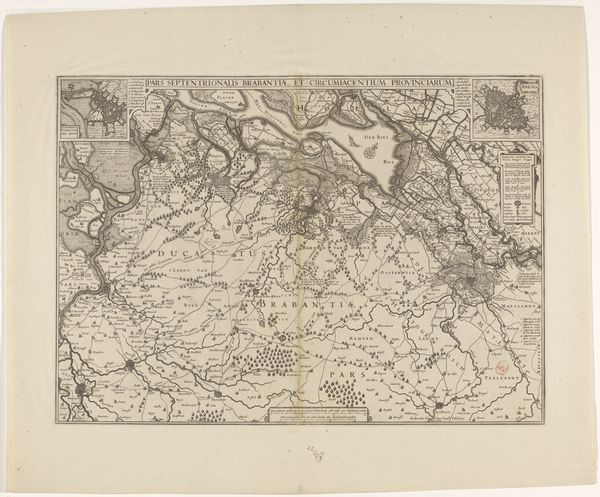
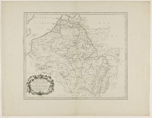
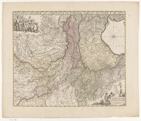
map drawing
# print
#
landscape
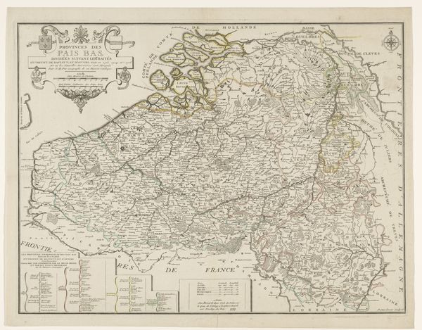
Dimensions: height 792 mm, width 1068 mm
Copyright: Rijks Museum: Open Domain
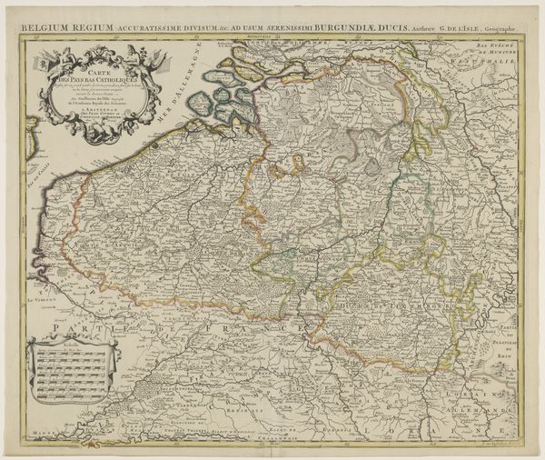
This is an anonymous map of the Southern Netherlands and Northern France, created with an unknown medium at an undetermined time. This map encapsulates a moment of political and administrative upheaval, reflecting the revolutionary zeal of late 18th-century France. The division of the region into thirteen departments, as meticulously detailed here, was a hallmark of the French Revolution's attempt to rationalize governance, breaking from the old feudal order. The map, therefore, is not merely a geographical document but a political statement. It embodies the Enlightenment ideals of order, reason, and centralized control imposed upon a landscape marked by diverse regional identities and histories. To fully understand this map, a social historian would delve into the archives of the French Revolutionary period, examining administrative records, political pamphlets, and local accounts. The map then reveals itself not only as a guide to territory, but as a window into the social and political forces that sought to reshape Europe in the wake of revolution.
Comments
No comments
Be the first to comment and join the conversation on the ultimate creative platform.
More like this