print, etching
#
dutch-golden-age
# print
#
etching
#
landscape
#
etching
#
geometric
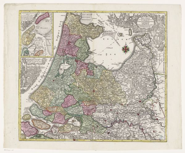
Dimensions: height 526 mm, width 582 mm
Copyright: Rijks Museum: Open Domain
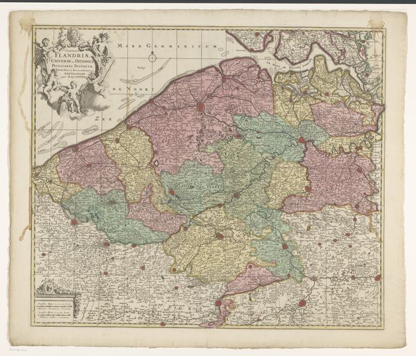
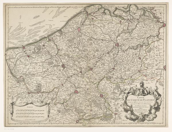
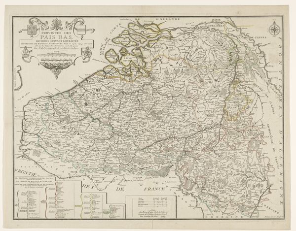
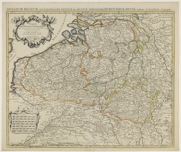
Caspar Specht produced this map of Holland, Utrecht, and part of Gelderland, sometime before his death in 1710. During the 17th century, the Dutch Republic was a major center for cartography, reflecting its prominence in global trade and naval power. This map isn’t just a geographical tool; it’s a statement of identity and power. Note the detailed rendering of cities, waterways, and administrative divisions, showcasing Dutch precision and control. The map gives a sense of how the Dutch perceived their territory and its place in the world. What we must remember is that maps like these were not neutral. Consider the emotional weight of such images for those whose lands were being mapped and claimed, often without their consent. Specht's map invites us to consider the complex interplay between knowledge, power, and representation. It’s a reminder that every map tells a story, and it's up to us to ask: whose story is being told, and whose is being left out?
Comments
No comments
Be the first to comment and join the conversation on the ultimate creative platform.
More like this