drawing, print, etching, engraving
#
drawing
# print
#
etching
#
landscape
#
etching
#
engraving
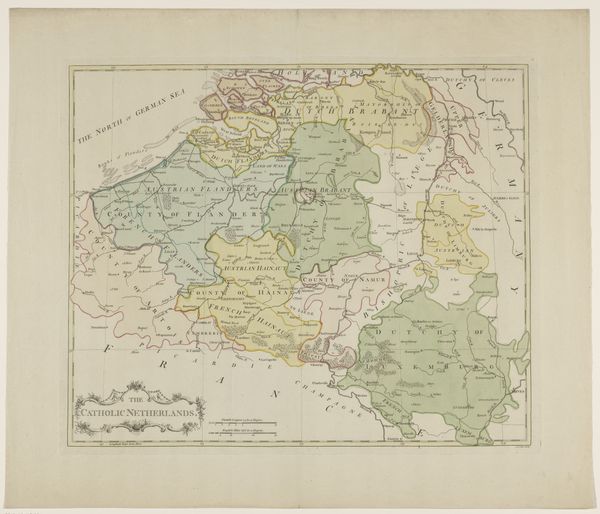
Dimensions: height 422 mm, width 502 mm
Copyright: Rijks Museum: Open Domain
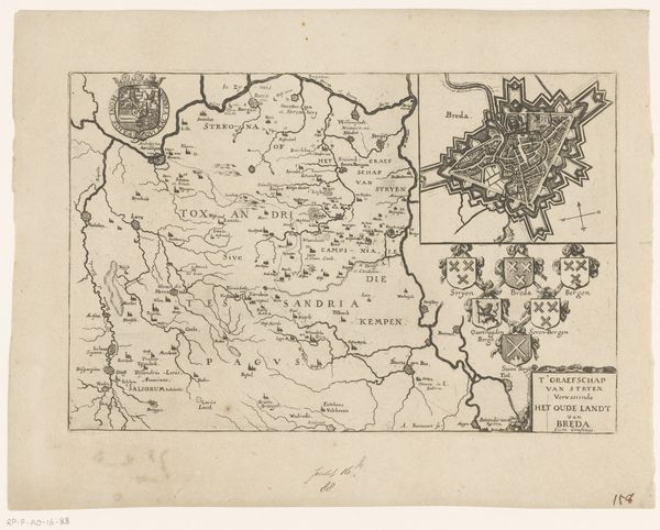
This is an anonymous map of the Southern Netherlands, made at an unknown date, using etching on paper. It is more than just a geographical document, it is a statement of political and cultural identity. Maps like this were tools of power, defining territories and asserting control. Cartography was often intertwined with colonialism, used to demarcate and claim lands. This map invites us to consider how regions are not just physical spaces, but socially constructed entities, shaped by human actions and perceptions. Note the detailed rendering of towns and rivers against the backdrop of implied borders. It asks us to consider the lives and communities contained within them. It is a reminder that every line on a map represents a complex history of human interaction and territorial negotiation. It is through understanding the subjective nature of maps, that we come to appreciate the diverse narratives that they contain.
Comments
No comments
Be the first to comment and join the conversation on the ultimate creative platform.
More like this