print, engraving
#
dutch-golden-age
# print
#
old engraving style
#
landscape
#
engraving
Dimensions: height 494 mm, width 586 mm
Copyright: Rijks Museum: Open Domain
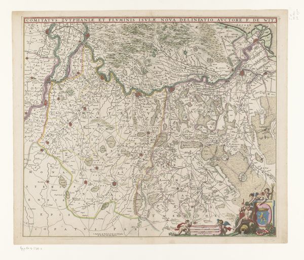
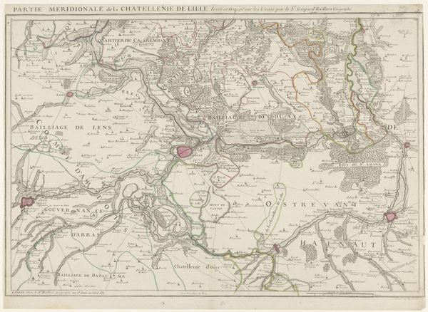
This is an anonymous map of Gelderland. The careful, linear structure of cartography presents a complex set of relations where space is both measured and imagined. Notice how the map presents a bounded territory, carefully delineated with lines. These lines form an abstract order that transcends the physical landscape, shaping our perception of space itself. Towns are marked with carefully placed circles, with rivers and tributaries etched into the land. The map is structured as a visual language, a semiotic system where every element is a sign. This detailed ordering of the world invites us to think about how power and knowledge are intertwined. Maps don't just reflect reality, they actively construct it. By imposing a formal structure onto the landscape, this map asserts a particular way of seeing, organizing, and ultimately controlling space. This is not just a passive representation, but an active engagement in the politics of space and representation.
Comments
No comments
Be the first to comment and join the conversation on the ultimate creative platform.
More like this