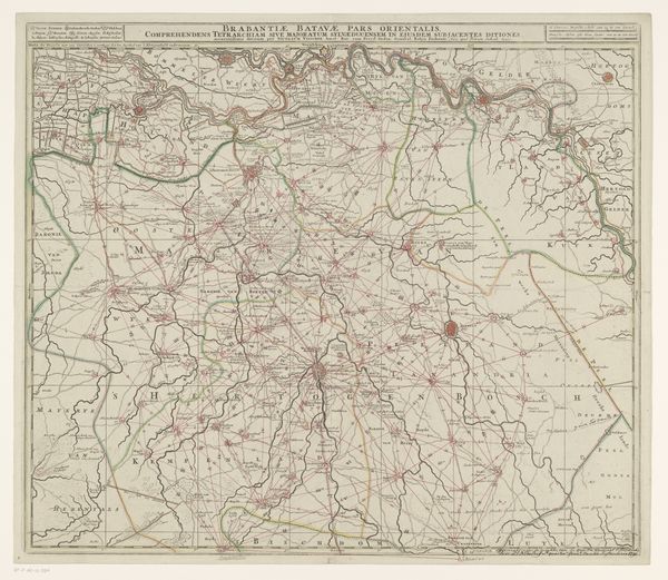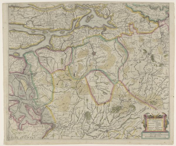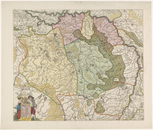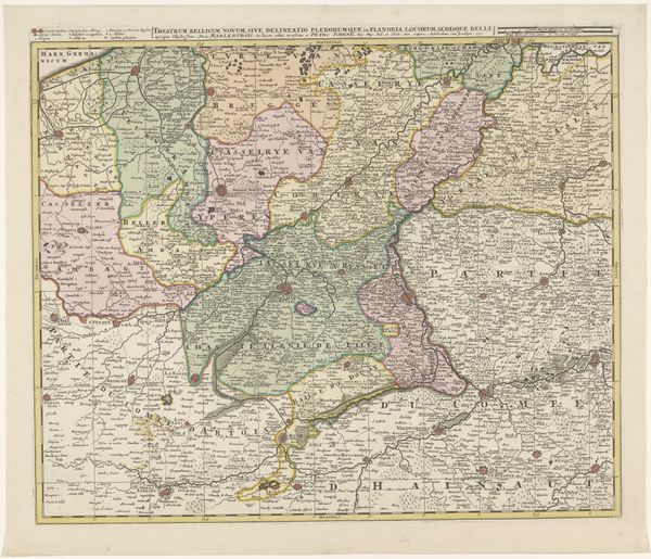
Kaart van het kwartier van Antwerpen, onderdeel van het hertogdom Brabant c. 1690s - 1700s
0:00
0:00
abrahamallard
Rijksmuseum
print, etching
#
baroque
# print
#
etching
#
landscape
Dimensions: height 508 mm, width 600 mm
Copyright: Rijks Museum: Open Domain
Abraham Allard created this map of the region of Antwerp, part of the Duchy of Brabant, around the turn of the 18th century. The composition strikes you first with its delicate balance, achieved through a network of fine lines and a muted palette of pastel colors. Notice how Allard uses color to differentiate political and geographical boundaries. Soft greens denote forested areas, while pinks mark urban centers. The network of rivers are defined with blue, creating a sense of depth and spatial relationships. However, this map does more than represent space; it constructs it. The neat division into sections, each labeled with careful script, suggests an attempt to impose order on the landscape. The map's function extends beyond mere navigation; it is an assertion of control, a visualization of power. The very act of mapping transforms the territory into a structured, knowable entity, ripe for governance. The beauty of Allard’s work lies in this tension between aesthetic representation and ideological construction, inviting us to reconsider how we perceive the world.
Comments
No comments
Be the first to comment and join the conversation on the ultimate creative platform.
