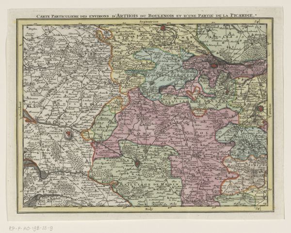
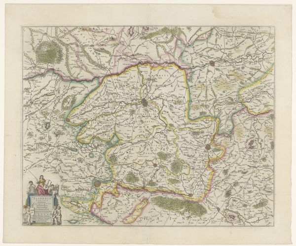
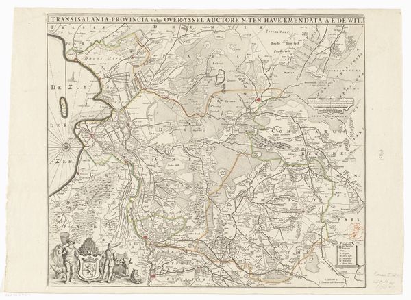
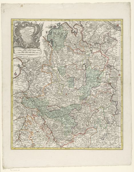
drawing, print
#
drawing
# print
#
landscape
#
geometric
#
line
#
cityscape
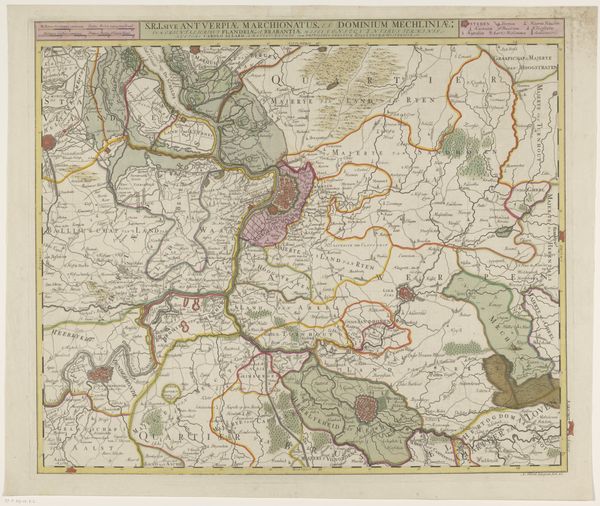
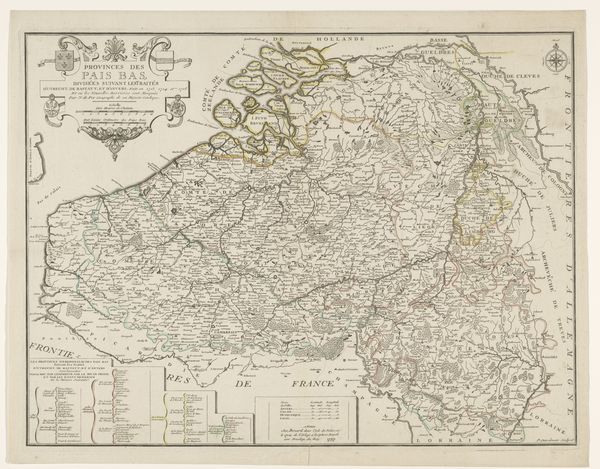
Dimensions: height 512 mm, width 597 mm
Copyright: Rijks Museum: Open Domain
This is an anonymous map of Brabant. The map is filled with a spiderweb of lines connecting cities and towns, revealing a desire to impose order and understanding onto the landscape. These radial lines remind me of the 'memory palaces' of the Renaissance. Here, the lines extend outward from central hubs, not unlike the spokes of a wheel, suggesting control and connection. Think of the medieval 'mappa mundi,' where Jerusalem sits at the heart of the world, radiating influence. Now, in this Brabant map, we see urban centers acting as the new spiritual and commercial focal points. The map aims to capture the emotional and psychological landscape of the region, connecting places and people through trade and governance. Maps like these capture more than physical space; they embody the evolving human relationship with our environment, a relationship fraught with ambition, control, and the eternal quest for orientation.
Comments
No comments
Be the first to comment and join the conversation on the ultimate creative platform.
More like this