print, etching, engraving
# print
#
etching
#
old engraving style
#
landscape
#
etching
#
ancient-mediterranean
#
engraving
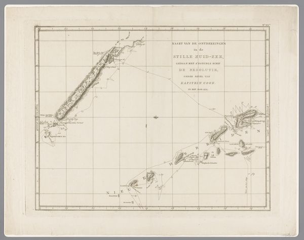
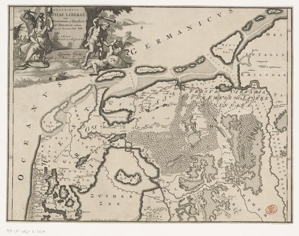
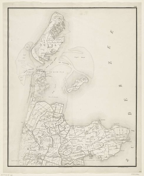
Dimensions: height 255 mm, width 320 mm
Copyright: Rijks Museum: Open Domain
Editor: This etching, "Kaart van Cooks River, Amerika," dates from somewhere between 1780 and 1800 and is attributed to an anonymous artist. I'm immediately struck by how clinical and detached it feels. It's a map, but a map of something being… surveyed? What do you see in this piece from a historical perspective? Curator: Precisely, it’s a map, and maps are never neutral documents. Think about the context: late 18th century, a period of intense colonial expansion. This isn't just charting a river; it's claiming territory, establishing dominion. How does the language used—"Cook's River," "Amerika"—reinforce that sense of ownership? Editor: So the act of naming itself becomes an act of possession? It reminds me a little bit of when my university renamed a campus building to appease a donor... Curator: Exactly! These acts have direct cultural implications. Consider how this map might have been used. Was it for navigation? Resource extraction? Military strategy? Who was its intended audience, and what message were they meant to receive about this "new" land? Editor: That makes me think about the level of detail. The coastlines are meticulously rendered, but the interior seems more generalized. Could that reflect the areas of primary interest to the colonizers at the time – focused on the coastlines for resources and trade? Curator: That's a perceptive point. The emphasis on the coast speaks volumes about the priorities of exploration and exploitation. Now, consider the impact on the indigenous populations already living there. How do you think a map like this erases their presence, their history, their claim to the land? Editor: It's like their whole world is being shrunk, flattened, and then relabeled. It really makes you question whose perspective is privileged when we look at art from the past. Curator: Absolutely. Examining art like this allows us to unpack the complex politics embedded in what might initially appear as a simple cartographic representation. It's a powerful reminder to always look beyond the surface.
Comments
No comments
Be the first to comment and join the conversation on the ultimate creative platform.
More like this