drawing, print, ink
#
drawing
# print
#
old engraving style
#
ink
#
geometric
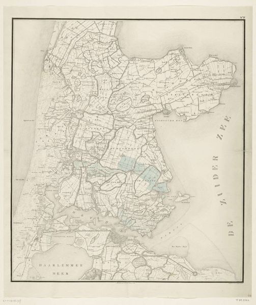
Dimensions: height 605 mm, width 493 mm
Copyright: Rijks Museum: Open Domain
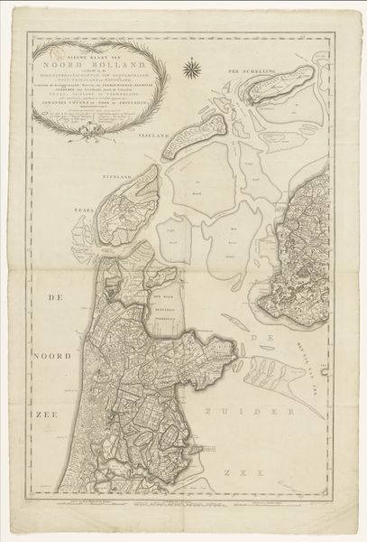
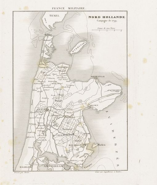
This is a map of North Holland, created in 1799 by Steuerwald & Co, now held in the Rijksmuseum. Maps, at their heart, are symbols – attempts to capture the essence of a place, to distill it into a representational form. Consider the careful delineation of land and water. The shapes of islands like Texel are not merely geographic features, they evoke a sense of separation and identity. These elements speak to the primal human need to chart and understand our world. The act of mapping itself is a symbolic gesture, an assertion of control and knowledge over the unknown. We see this even in antiquity, as in Ptolemy’s 'Geography', a classical prototype that resonates here. The lines etched on this map, the careful rendering of coastlines and settlements, reflect a collective memory, a shared understanding of this land. This image, a blend of science and artistry, offers a visual testament to humanity's enduring quest to find our place in the world. This impulse is deeply rooted in our psyche.
Comments
No comments
Be the first to comment and join the conversation on the ultimate creative platform.
More like this