About this artwork
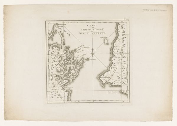
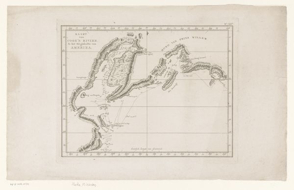
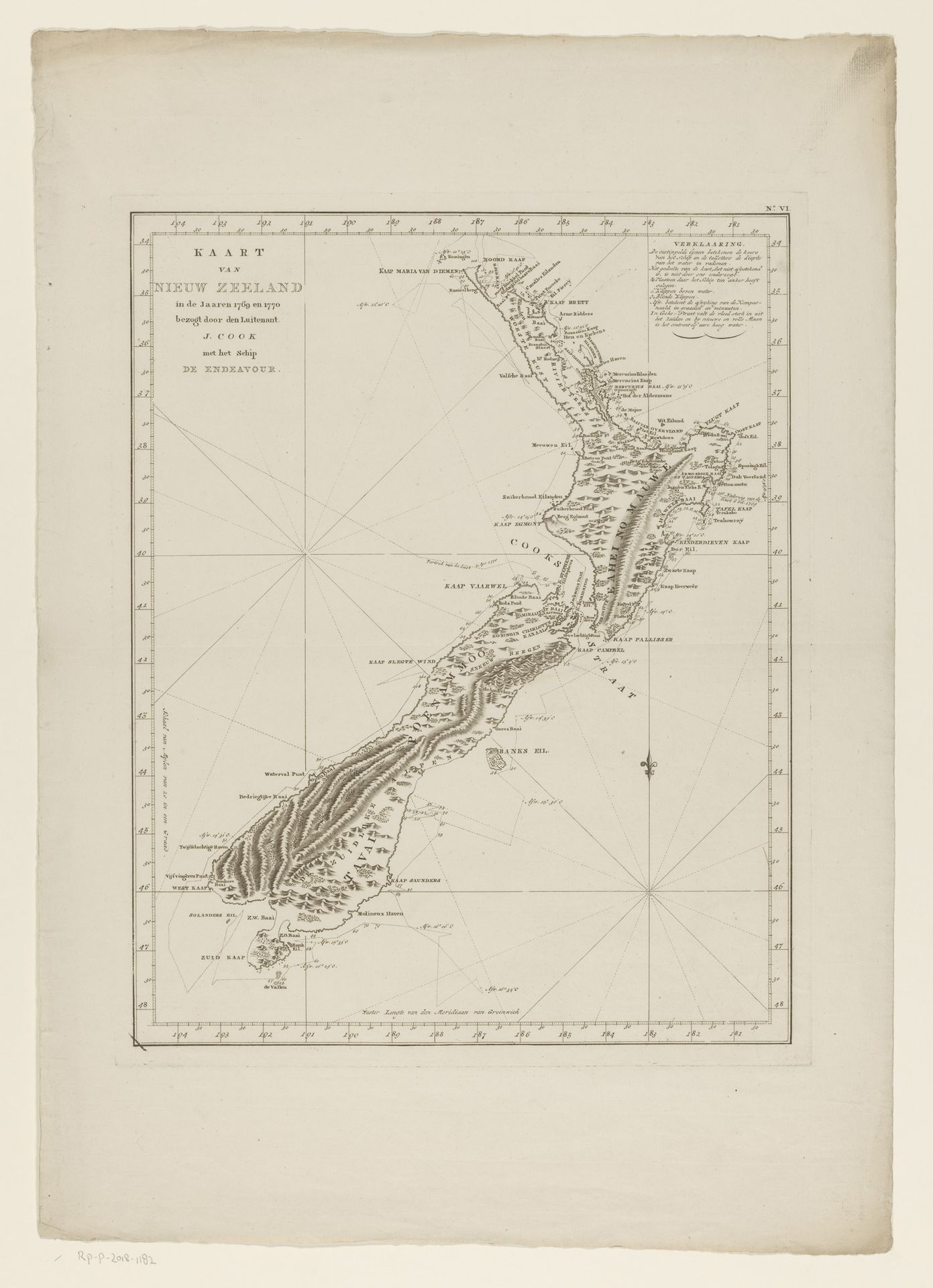
This is an anonymous map of New Zealand, meticulously rendered with ink on paper. The dominant visual experience comes from its detailed lines and monochromatic palette, structured within a grid. The shape of the landmass, detailed with topographical shading, evokes a sense of exploration and cartographic precision. Structurally, the map presents a fascinating interplay of lines, from the precise grid delineating coordinates to the organic contours of the coastline. Semiotically, the map functions as a system of signs, each line, label, and symbol encoding geographical and cultural information. It invites viewers to engage in a spatial and intellectual journey. Consider how the representation of New Zealand, through the cartographer's formal choices, constructs a certain understanding of the land. Maps, while appearing objective, are always subjective interpretations of space, reflecting particular perspectives and agendas.
Artwork details
- Medium
- print, etching, engraving
- Dimensions
- height 490 mm, width 393 mm
- Location
- Rijksmuseum
- Copyright
- Rijks Museum: Open Domain
Tags
Comments
Share your thoughts
About this artwork
This is an anonymous map of New Zealand, meticulously rendered with ink on paper. The dominant visual experience comes from its detailed lines and monochromatic palette, structured within a grid. The shape of the landmass, detailed with topographical shading, evokes a sense of exploration and cartographic precision. Structurally, the map presents a fascinating interplay of lines, from the precise grid delineating coordinates to the organic contours of the coastline. Semiotically, the map functions as a system of signs, each line, label, and symbol encoding geographical and cultural information. It invites viewers to engage in a spatial and intellectual journey. Consider how the representation of New Zealand, through the cartographer's formal choices, constructs a certain understanding of the land. Maps, while appearing objective, are always subjective interpretations of space, reflecting particular perspectives and agendas.
Comments
Share your thoughts