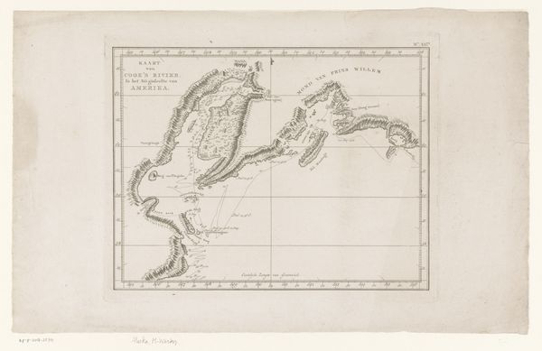
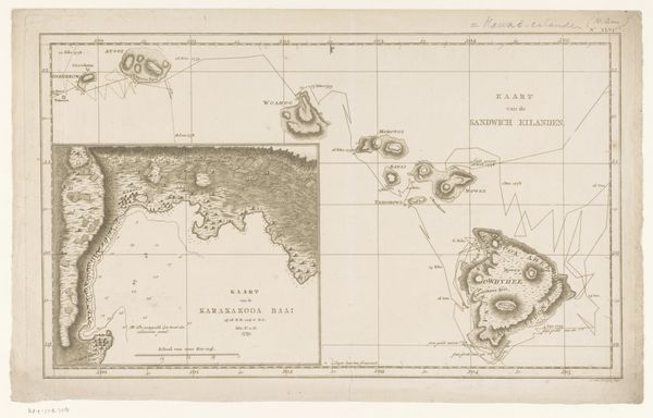
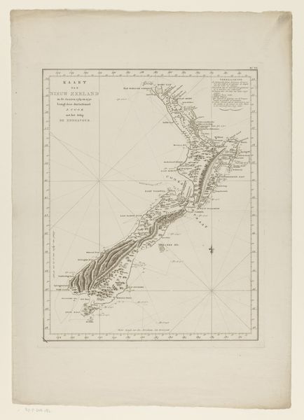
Kaart van het eiland Nieuw-Caledonië en andere eilanden in de Grote Oceaan, ontdekt door James Cook in 1774 1799 - 1800
0:00
0:00
print, etching
# print
#
etching
#
landscape
#
etching
Dimensions: height 380 mm, width 490 mm
Copyright: Rijks Museum: Open Domain
This is an anonymous map of New Caledonia and other Pacific islands, made following James Cook's voyage in 1774. The map embodies the complex intersection of exploration, colonialism, and the construction of knowledge. While seemingly objective, maps like these were instrumental in shaping European perceptions of distant lands and in asserting colonial power. It represents the cartographic gaze of the colonizer, framing these islands through a Western lens, often disregarding indigenous perspectives and knowledge. This map represents a pivotal moment of contact and the subsequent reshaping of indigenous lands and cultures. Think about how the simple act of mapping can transform a place into a possession, and how lines on paper can alter the course of history. Consider the stories of the people who already called these islands home, whose lives were irrevocably changed by Cook's arrival and the maps that followed.
Comments
No comments
Be the first to comment and join the conversation on the ultimate creative platform.
More like this