drawing, print, etching, engraving
#
drawing
# print
#
etching
#
etching
#
geometric
#
line
#
history-painting
#
engraving
Dimensions: height 208 mm, width 190 mm
Copyright: Rijks Museum: Open Domain
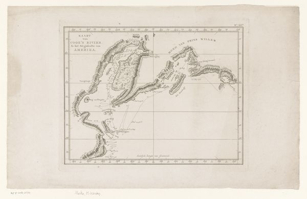
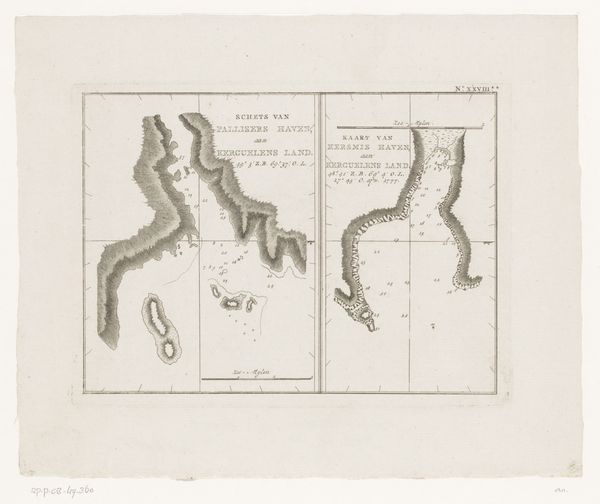
Editor: So, this is "Kaart van de haven van Samganoodha," or "Map of the port of Samganoodha," from around 1780 to 1800, by an anonymous artist. It's an etching or engraving. It feels very functional, like a technical drawing, but there's something almost beautiful about the precise lines and the starkness of the landscape. What kind of symbolic reading would you give this work? Curator: Look at the precision with which this harbor is depicted. The line work, the numbers scattered across the sea – each detail is imbued with intention, and this work recalls a symbolic quest to chart and understand the unknown. What cultural values were wrapped up in this process of exploration and documentation? What did this image promise its intended audience? Editor: I hadn’t thought about it like that. It’s easy to just see a map, but it clearly also represents a moment of contact between cultures. The naming of locations, the grid laid over the land. Curator: Exactly. The symbols in this etching speak volumes about cultural memory, dominance, and how one group imprints their vision onto a new place. The map is never a neutral object; it’s an assertion. It is intriguing how the line takes on different cultural significance over time. Do you see the names and locations through that historical frame now? Editor: I do. So, even what seems like a purely informational image contains these deeper cultural currents? That changes my perspective entirely. Thanks! Curator: Indeed. These artifacts whisper their secrets, offering glimpses into how past eras shaped our perception and relation with the world, don't you agree?
Comments
No comments
Be the first to comment and join the conversation on the ultimate creative platform.
More like this