graphic-art, lithograph, print
#
graphic-art
#
lithograph
# print
#
landscape
#
orientalism
#
realism
Dimensions: height 400 mm, width 535 mm
Copyright: Rijks Museum: Open Domain
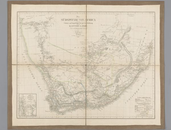
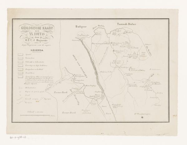
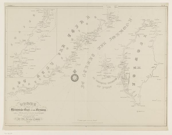
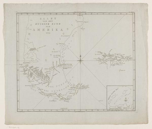
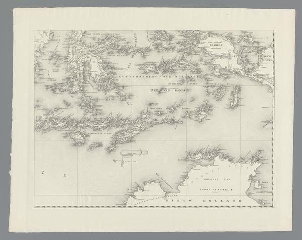
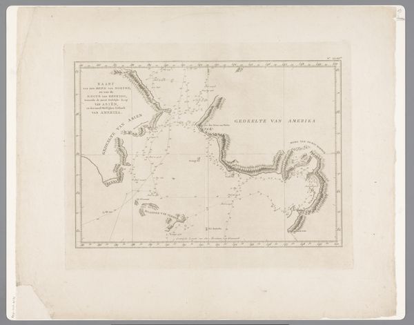
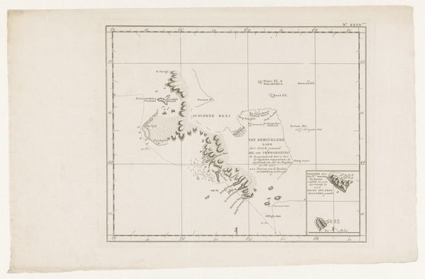
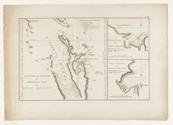
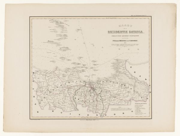
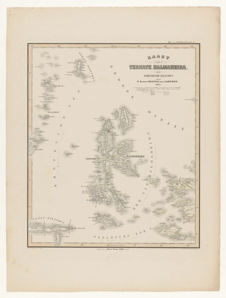
Editor: Here we have “Kaart van de Banda-eilanden,” a lithograph from 1854 by F. Cronenberg. It's a very detailed map. It gives a serene sense of exploration. What do you find striking about this piece? Curator: Well, right away, the level of detail grabs me, it’s obsessive, really. Imagine someone sitting down, meticulously etching out coastlines and tiny settlements of these spice islands, a jewel in the Dutch colonial project. It’s a map, sure, but it is so much more! Doesn’t it also speak of power and possession? A way of visually "swallowing" land? Editor: I see what you mean, like a declaration. And, correct me if I’m wrong, but the style also feels… romanticized? Curator: Oh, absolutely! It's realism filtered through an orientalist lens, right? There's a touch of exoticism – an imagined "otherness." It also feels strange and slightly… sad? Maybe the precision of the drawing juxtaposed against what you can't draw – the exploitation it facilitated. What do you make of the colours? Editor: They are quite muted – blues and pinks – almost like a faded dream. Perhaps illustrating how these far-off colonies would fade into memories and legacies over time? Curator: Exactly! The colours feel melancholic – beautiful, yet holding this untold history beneath the surface. I appreciate you pointing that out. A great piece, but definitely opens up some deep thoughts. Editor: Me too! Thanks, this gave me a whole new perspective.
Comments
No comments
Be the first to comment and join the conversation on the ultimate creative platform.
