About this artwork
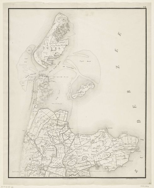
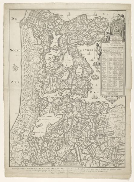
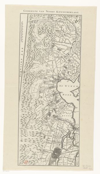
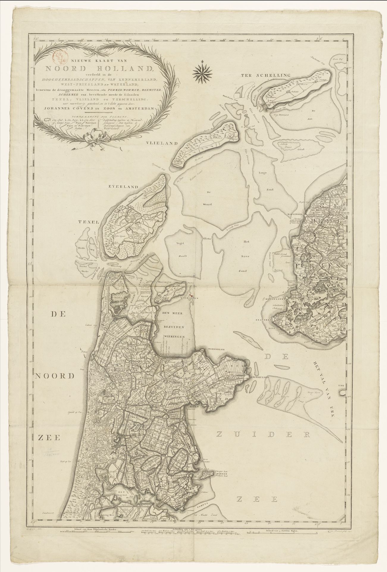
Cornelis van Baarsel made this map of Noord-Holland, using ink on paper, during the late 18th or early 19th century. The fine lines and intricate details are a testament to the skill required in traditional mapmaking, before the age of digital cartography. Consider the paper itself – likely made from processed plant fibers, each sheet would have been produced individually through a labor-intensive process. The ink, too, was carefully formulated, allowing for precision in drawing and lasting legibility. The printing process would have involved engraving the design onto a plate, inking it, and then pressing the paper to transfer the image. The map reveals the province's infrastructure, waterways, and administrative divisions, with the landscape viewed as something to be managed. Maps like these facilitated trade and governance, and were essential tools of empire. This map is a beautiful illustration of how craft, commerce, and control were intertwined.
Kaart van Noord-Holland, verdeeld in hoogheemraadschappen
1792
Artwork details
- Medium
- print, engraving
- Dimensions
- height 911 mm, width 609 mm
- Copyright
- Rijks Museum: Open Domain
Tags
Comments
Share your thoughts
About this artwork
Cornelis van Baarsel made this map of Noord-Holland, using ink on paper, during the late 18th or early 19th century. The fine lines and intricate details are a testament to the skill required in traditional mapmaking, before the age of digital cartography. Consider the paper itself – likely made from processed plant fibers, each sheet would have been produced individually through a labor-intensive process. The ink, too, was carefully formulated, allowing for precision in drawing and lasting legibility. The printing process would have involved engraving the design onto a plate, inking it, and then pressing the paper to transfer the image. The map reveals the province's infrastructure, waterways, and administrative divisions, with the landscape viewed as something to be managed. Maps like these facilitated trade and governance, and were essential tools of empire. This map is a beautiful illustration of how craft, commerce, and control were intertwined.
Comments
Share your thoughts