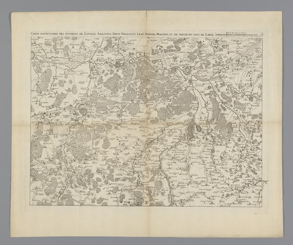
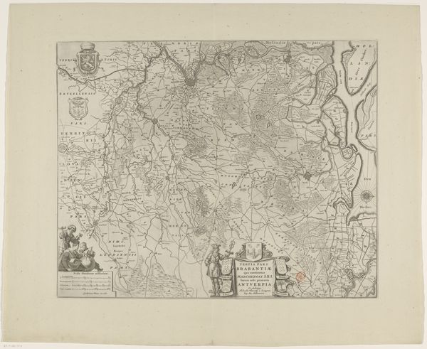
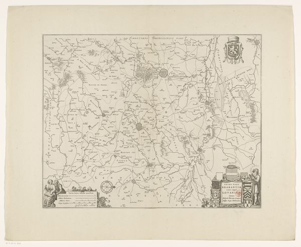
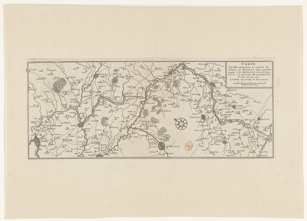
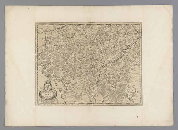
Kaart van het kwartier van Brussel, onderdeel van het hertogdom Brabant 1642 - 1672
print, engraving
dutch-golden-age
old engraving style
landscape
geometric
engraving
Dimensions: height 413 mm, width 522 mm
Copyright: Rijks Museum: Open Domain
This map of Brussels, part of the Duchy of Brabant, presents a world meticulously rendered with line and form. Notice how the intricate network of lines articulates not just borders and routes, but also a structured vision of space. The map's function extends beyond mere representation, it embodies an early form of structuralism where elements, like cities, rivers and forests, are signs within a broader semiotic system. Each symbol and its placement contribute to a larger narrative about the region's political and geographical identity. The composition, though seemingly straightforward, employs a complex interplay of scales and symbols, challenging our perception of space and authority. Ultimately, the map invites us to reconsider how we interpret the signs and structures that shape our understanding of place and power. The act of mapping, as seen here, goes beyond geography; it's a statement about control, knowledge, and the very construction of reality.
Comments
No comments
Be the first to comment and join the conversation on the ultimate creative platform.