drawing, print, ink, engraving
drawing
baroque
old engraving style
landscape
personal sketchbook
ink
geometric
engraving
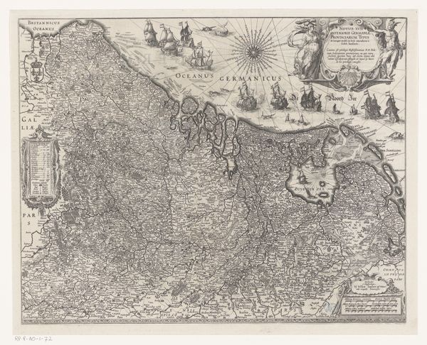
Dimensions: height 377 mm, width 495 mm
Copyright: Rijks Museum: Open Domain
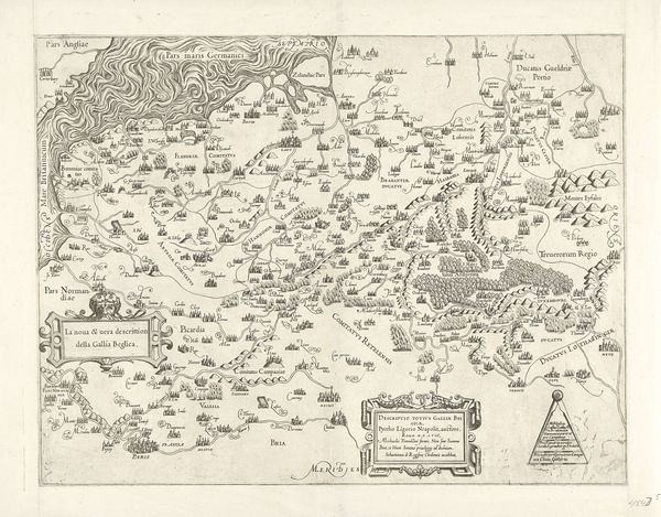
This is Joannes van Doetechum the Younger’s map of the County of Hainaut, now in the collection of the Rijksmuseum. It was made sometime between the late 16th and early 17th century. During this period maps were powerful tools, not only for navigation and trade, but also for asserting territorial claims and projecting power. Consider how the map reflects the social hierarchies of the time, with its intricate details of cities and towns, but with very little representation of the lives and experiences of ordinary people who lived there. This is a depiction of land and power made during the intersection of the late Renaissance and the early modern period. The map invites us to consider how it functioned within the complex social and political landscape of its time. Think about who had access to such maps, and what perspectives might be missing from this representation of space and place. How does this map both reflect and shape our understanding of the past?
Comments
No comments
Be the first to comment and join the conversation on the ultimate creative platform.