Kaart van het hertogdom Brabant met een gezicht op Mechelen, Antwerpen en het Paleis op de Koudenberg te Brussel 1617 - 1622
0:00
0:00
pietervanderkeere
Rijksmuseum
print, engraving
#
baroque
#
pen drawing
# print
#
pen sketch
#
old engraving style
#
sketch book
#
landscape
#
personal sketchbook
#
geometric
#
pen-ink sketch
#
pen work
#
sketchbook drawing
#
storyboard and sketchbook work
#
sketchbook art
#
engraving
Dimensions: height 350 mm, width 502 mm
Copyright: Rijks Museum: Open Domain
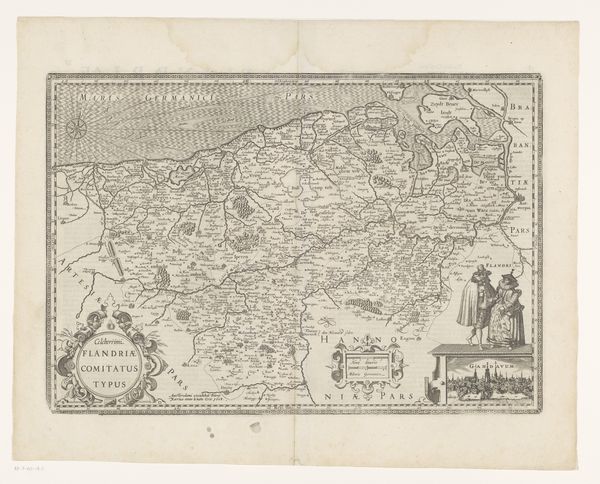
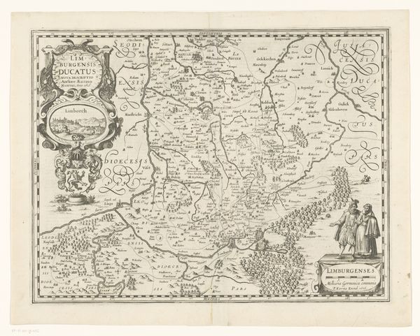
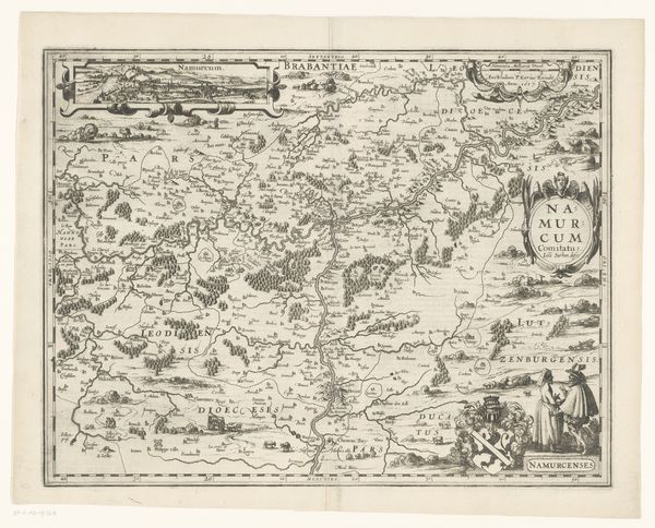
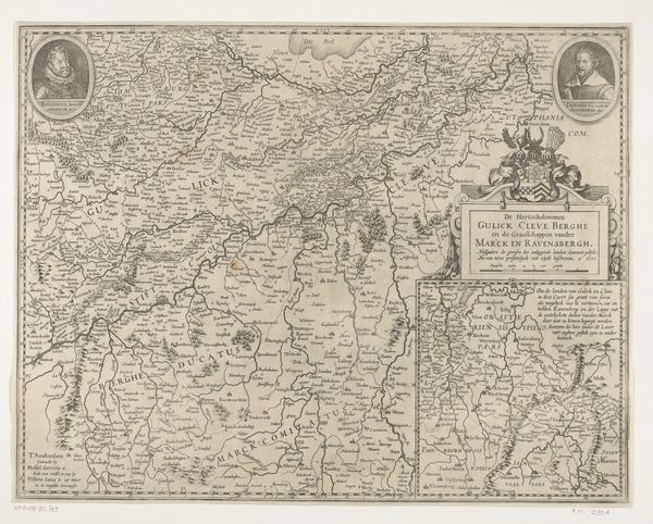
Pieter van der Keere created this map of the Duchy of Brabant sometime between his birth in 1571 and death in 1646, using engraving. Engraving is a printmaking technique where the artist incises an image onto a metal plate, which is then inked and pressed onto paper. Look closely, and you can see the dense network of fine lines that define the landscape, cities, and decorative elements. The act of engraving requires immense skill and time. Each line had to be carefully cut into the metal, demanding a focused, painstaking process. Back then, maps weren’t just geographical tools; they were potent symbols of power and knowledge, and luxury goods. This map embodies the era's commercial expansion and cartographic innovation. Consider also, the social implications: the labor-intensive production of such a map would have involved not just van der Keere, but also printers, publishers, and distributors. By appreciating the work and social context embedded in this map, we can understand it not just as a document, but as a cultural artifact of a specific time.
Comments
No comments
Be the first to comment and join the conversation on the ultimate creative platform.
More like this