Kaart van het oorlogstoneel in Nederland en omringende landen, ca. 1794 1793 - 1795
0:00
0:00
drawing, print, etching, ink
#
pen and ink
#
drawing
#
map drawing
# print
#
etching
#
landscape
#
etching
#
ink
#
history-painting
Dimensions: height 977 mm, width 610 mm
Copyright: Rijks Museum: Open Domain
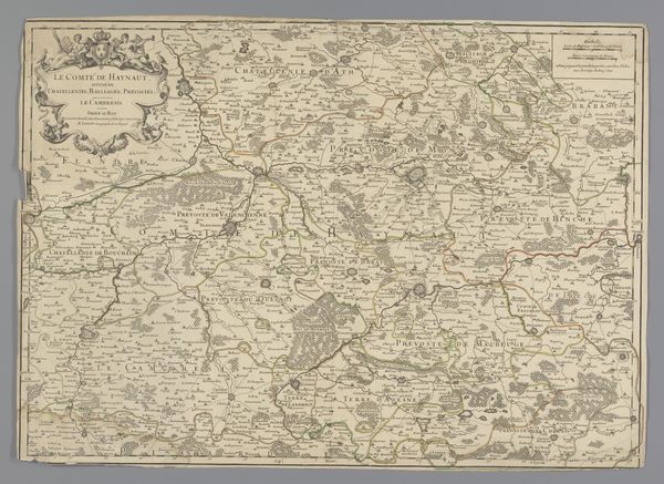
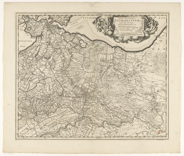
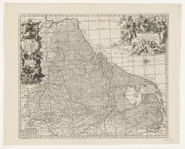
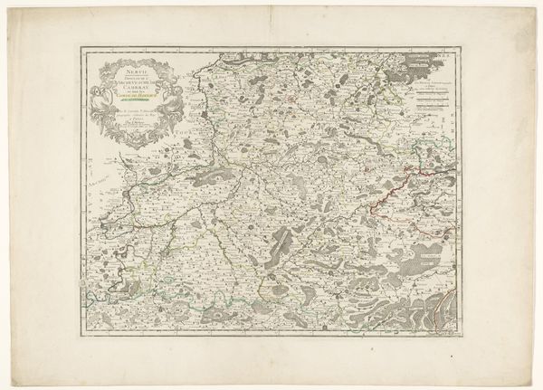
Cornelis van Baarsel created this map of the Dutch Republic and surrounding countries around 1794, during a period of immense political and social upheaval. The map reflects the tensions of a society on the brink of revolution, caught between the old order and the revolutionary fervor emanating from France. This wasn't just a geographical document; it was a political statement. Consider how maps like these shaped people’s understanding of their place in the world, influencing their sense of national identity and allegiance. As the winds of change swept across Europe, cartographers found themselves at the intersection of knowledge, power, and ideology. The detailed rendering of the landscape invites us to reflect on how the physical terrain became a battleground for competing ideologies. We can imagine individuals from different social strata—merchants, farmers, and aristocrats—interpreting this map through the lens of their own experiences, hopes, and fears.
Comments
No comments
Be the first to comment and join the conversation on the ultimate creative platform.
More like this