print, engraving
#
baroque
# print
#
pen sketch
#
old engraving style
#
geometric
#
history-painting
#
engraving
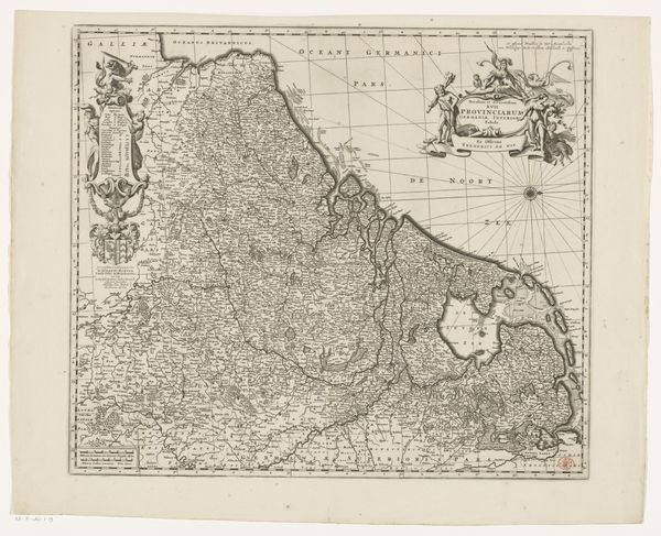
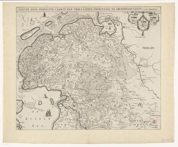
Dimensions: height 470 mm, width 565 mm
Copyright: Rijks Museum: Open Domain
Editor: So, here we have "Kaart van de Zeventien Provinciën," or "Map of the Seventeen Provinces," an engraving created anonymously sometime between 1675 and 1729. Looking at it, I'm immediately struck by the intricate detail – almost overwhelming! There's so much information packed in. What do you find most compelling about this piece? Curator: It feels like staring into a collective dream, doesn’t it? All those swirling lines and miniature figures… it's less about accurate geography, I think, and more about power and possession. A little like planting a flag on the moon, really, except the moon is the Netherlands and its surrounding lands. Do you notice how the decorative elements—the allegorical figures, the cartouches—seem to almost wrestle for space with the actual map? Editor: I do. They're incredibly detailed, but kind of… disruptive? Curator: Precisely! That tension is where the real story lies. It speaks to a Baroque fascination with abundance, but also anxiety about control. The Dutch Republic was at its zenith, flexing its mercantile muscles. A map wasn’t just a guide; it was a statement. What do you make of the blank spaces? The areas intentionally *not* filled in? Editor: Hmmm, I hadn't considered that. Perhaps it signifies the limits of their knowledge or even ambition? Curator: Maybe! Or maybe, space for the imagination, for future possibilities, the 'yet to be conquered' perhaps. It’s a reminder that even the most assertive claims leave room for doubt, for wonder, for the next adventurer or artist to fill in the gaps. What will *you* fill in, I wonder, in response to this strange, lovely beast of a map? Editor: That’s… actually really inspiring. I hadn’t thought of it that way at all. I came in expecting a history lesson, but it feels like a prompt for the future!
Comments
No comments
Be the first to comment and join the conversation on the ultimate creative platform.
More like this