print, etching, engraving
#
baroque
# print
#
etching
#
old engraving style
#
landscape
#
etching
#
cityscape
#
engraving
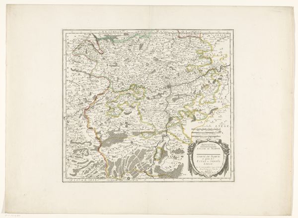
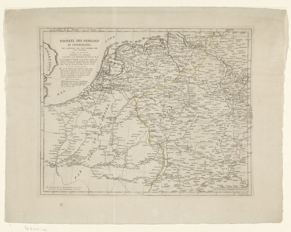
Dimensions: height 435 mm, width 568 mm
Copyright: Rijks Museum: Open Domain
This is an anonymous map of the Archbishopric of Cambrai, created with ink on paper. The appearance of this map is entirely dependent on the materials from which it was made. The paper’s smooth surface allows for precise details of the landscape and architectural structures. Consider the labor involved in its production: from papermaking to inking, each stage required skilled craftsmanship. The physical act of engraving imbues the map with a sense of authority, reflecting a culture that valued precision and knowledge. The choice of ink underscores the map's function as a tool for navigation and documentation, allowing for clear legibility. The ink's permanence speaks to the map's intended longevity, suggesting its value as a lasting record of the region. Ultimately, this map transcends its practical purpose, embodying the cultural values and craftsmanship of its time. The combination of materials and meticulous execution challenges traditional distinctions between functional objects and fine art.
Comments
No comments
Be the first to comment and join the conversation on the ultimate creative platform.
More like this