graphic-art, print, engraving
#
graphic-art
#
baroque
# print
#
old engraving style
#
history-painting
#
engraving
Dimensions: height 205 mm, width 271 mm
Copyright: Rijks Museum: Open Domain
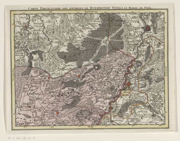
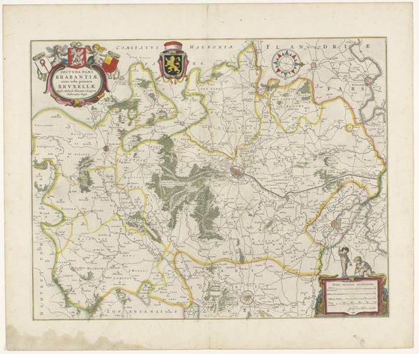
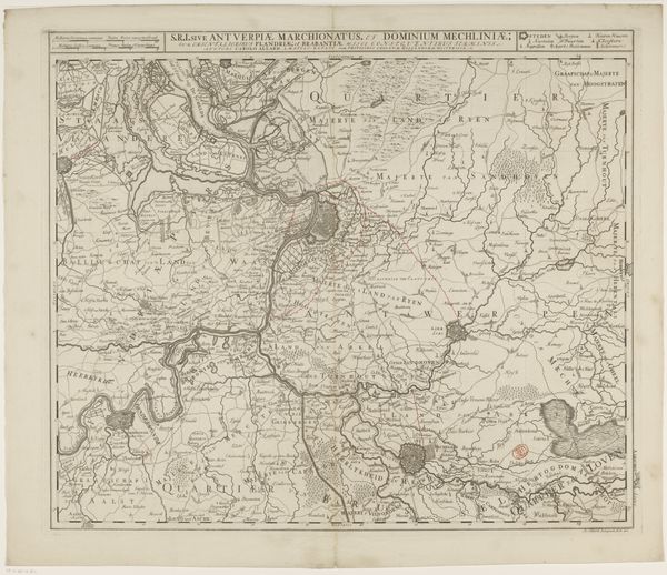
Tobias Conrad Lotter created this section of a map of the Austrian Netherlands in the 18th century. Its design, articulated through delicate lines and topographic markings, strikes a balance between scientific accuracy and artistic expression. The map is organized through the use of hatching and stippling, each denoting natural features. These elements are not merely representational; they serve as a sophisticated visual language encoding geographical data and political claims. Lotter’s approach reflects a broader trend of the Enlightenment era, where cartography became both a tool for governance and a medium through which to assert knowledge and control over territories. Consider how Lotter has approached the construction of space. Does it invite exploration, or does it subtly enforce a certain power dynamic? The tension between the aesthetic and the functional here invites us to consider the multiple roles of cartography, as a scientific pursuit but also as a cultural and political artifact.
Comments
No comments
Be the first to comment and join the conversation on the ultimate creative platform.
More like this