drawing, graphic-art, print, etching
#
pen and ink
#
architectural sketch
#
drawing
#
graphic-art
#
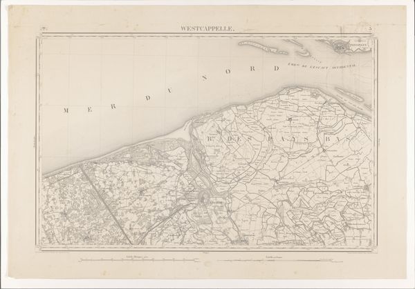
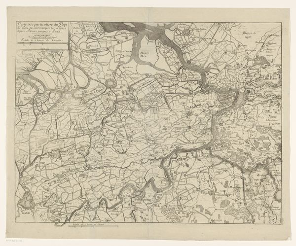
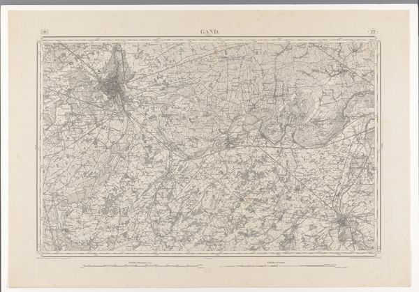
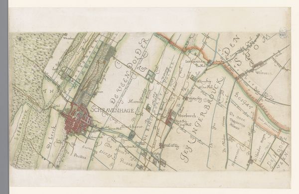
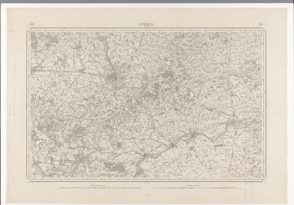
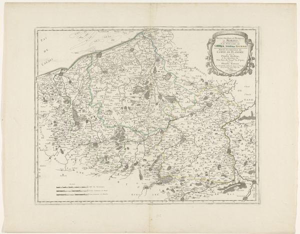
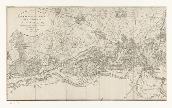
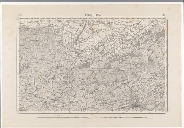
map drawing
# print
#
etching
#
landscape
#
etching
#
architectural section drawing
#
architectural drawing
#
architecture drawing
Dimensions: height 673 mm, width 955 mm
Copyright: Rijks Museum: Open Domain
Curator: At first glance, I’m drawn to the incredible detail and intricacy. It almost feels like a delicate spiderweb meticulously crafted onto paper. Editor: Indeed! We're looking at an 1863 etching, titled "Kaart van de omgeving van Sint-Winoksbergen" – which translates to "Map of the surroundings of Saint Winoksbergen," executed by a variety of makers. It gives us a fascinating glimpse into the layout and infrastructure of the region. Curator: Maps, even utilitarian ones like this, often reveal a lot about what was valued. It is almost overwhelming to know all of this existed, as one world upon another. Editor: Absolutely. We see settlements rendered with impressive precision. Looking closer, one can even detect subtle differences in how land use is portrayed – areas marked with grids and others as filled, presumably wooded. This reveals systems of agriculture but also points towards its governance during the era. Curator: It's more than just a geographical record; the map embodies power structures and knowledge systems. For whom was this map made? What was its purpose beyond pure navigation? Perhaps land surveying, or military strategy? The subtle hierarchies in the visual language probably offer insight into that. Editor: Precisely! The map is rich with symbols. Notice the carefully rendered architecture – from fortified walls to prominent buildings, which are not just structural but representative of regional authority and importance. They would become symbols later used in trade or other means of identifying this region from other. Curator: There’s a haunting element here. The map offers a vision of order but omits so many other realities like its social histories and people's daily lived experience. Editor: Maps of this period rarely speak to social experience. In my reading of this, maps such as these gave people a tangible understanding of what power actually meant as well as what belonged to whom. Thank you for pointing that out, as it shifted my interpretation. Curator: Thank you! Analyzing this map reminds me how every image is a complex intersection of intent, context, and perception. Editor: Indeed, a palimpsest of history etched into paper. I know this image will stay with me as well.
Comments
No comments
Be the first to comment and join the conversation on the ultimate creative platform.
More like this