drawing, ink, engraving
#
drawing
#
baroque
#
pen drawing
#
pen illustration
#
old engraving style
#
ink
#
line
#
pen work
#
engraving
Dimensions: height 461 mm, width 608 mm
Copyright: Rijks Museum: Open Domain
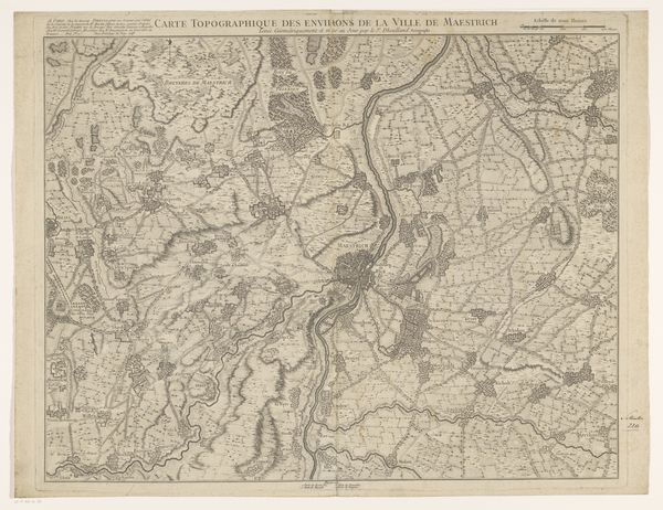
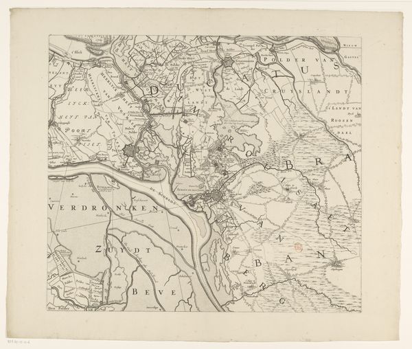
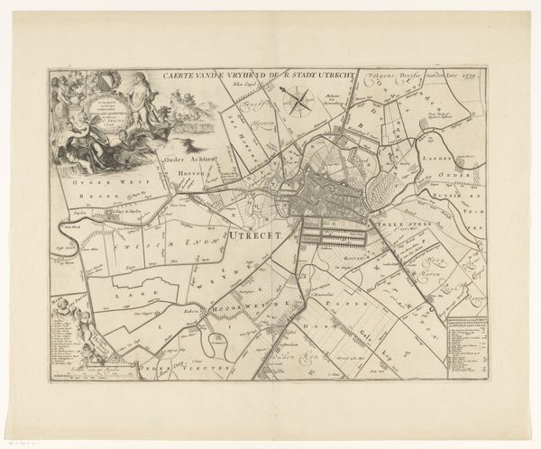
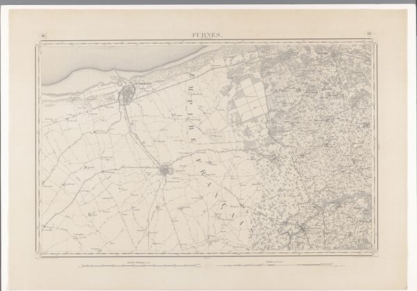
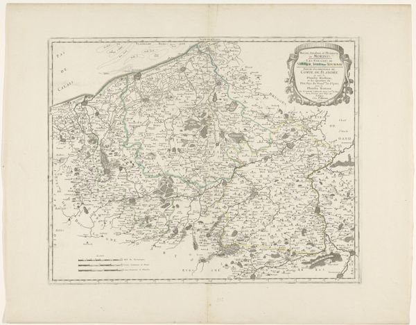
Jacobus Harrewijn created this map of Waasland in pen and brown ink with a brush in gray. At first glance, the intricate web of lines captures your attention. The rivers, borders, and roads are depicted with striking precision. Notice how the texture of the land is suggested through subtle variations in shading and line density. The map’s structure reflects a meticulous effort to impose order on geographical space. Harrewijn's map isn't just a document; it is an interpretation. It is a discourse about power, boundaries, and spatial control. The lines delineating territories are visual assertions of authority, transforming fluid landscapes into fixed entities. Consider the map's function. Its aesthetic qualities aren’t merely decorative; they serve to enhance the map's authority. This interplay between aesthetics and power invites us to reconsider how we see and understand the territories around us.
Comments
No comments
Be the first to comment and join the conversation on the ultimate creative platform.
More like this