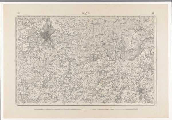
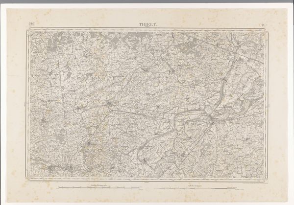
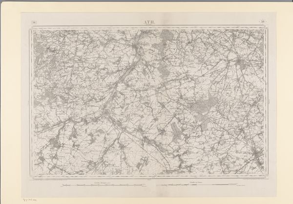
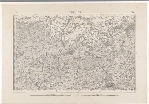
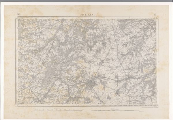
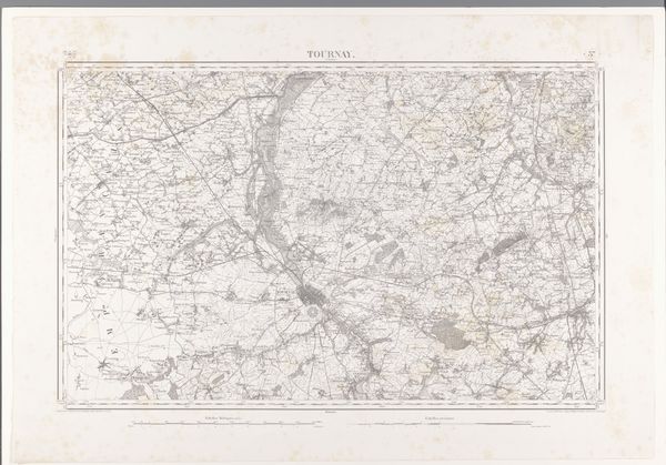
drawing, print, ink, engraving
#
drawing
# print
#
landscape
#
ink
#
geometric
#
engraving
Dimensions: height 666 mm, width 954 mm
Copyright: Rijks Museum: Open Domain
Editor: We're looking at "Kaart van de omgeving van Ieper," a map created by diverse makers in 1865. It combines drawing, printmaking, and engraving techniques, using ink on paper. The density of detail is remarkable; it feels like peering into a whole world meticulously rendered. How would you interpret this work within its historical context? Curator: This map, beyond its aesthetic appeal, is deeply intertwined with the sociopolitical landscape of its time. Cartography in the 19th century wasn't merely about geographical representation; it was about power, control, and national identity. Who commissioned it and for what purpose? Was it for military planning, resource management, or perhaps to reinforce a sense of territorial belonging? Editor: That’s a great point! It must have served a practical function as well. What are your thoughts? Curator: Exactly. Consider also how museums and institutions have shaped our understanding of maps like these. Are they presented as scientific artifacts, historical documents, or works of art? Each framing influences how the public perceives their meaning and value. It’s also important to look at what *isn't* included; whose perspectives are missing from this representation of Ieper? Editor: Thinking about whose stories are told, and whose are omitted, completely changes how I see it. Thank you! Curator: Absolutely. Recognizing the layers of power embedded in even seemingly objective images is key. Editor: I will definitely approach maps differently from now on. Curator: Likewise. Thinking about its public role helped clarify my thoughts.
Comments
No comments
Be the first to comment and join the conversation on the ultimate creative platform.
More like this