graphic-art, print, engraving
#
graphic-art
# print
#
pen illustration
#
pen sketch
#
old engraving style
#
hand drawn type
#
landscape
#
personal sketchbook
#
ink drawing experimentation
#
pen-ink sketch
#
line
#
pen work
#
sketchbook drawing
#
sketchbook art
#
engraving
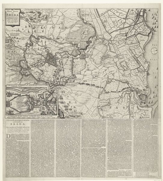
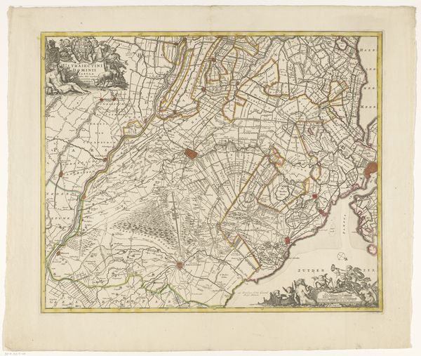
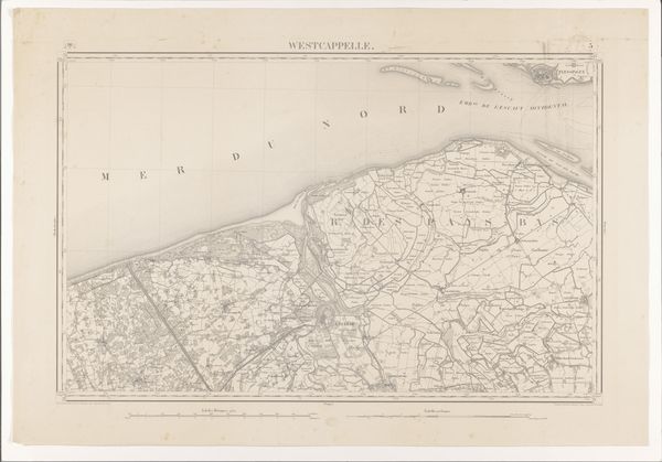
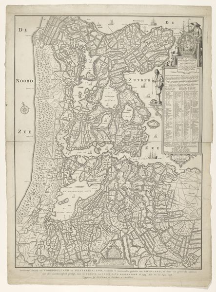
Dimensions: height 427 mm, width 541 mm
Copyright: Rijks Museum: Open Domain
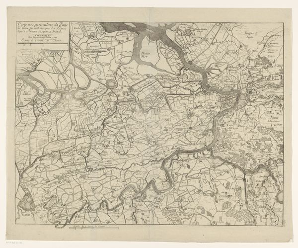
This anonymous map of French Flanders and Wallonia was made at an unknown date. It's an intriguing glimpse into the cultural and political landscape of the Low Countries. Maps like these weren't just geographical tools; they were statements of power and identity. Consider the act of defining and delineating territory, of visually asserting control over a region. This map reflects the complex political situation in the area, caught between France and the Netherlands. Who commissioned it, and for what purpose? Was it intended for military use, administrative planning, or perhaps to bolster a sense of regional identity? The lack of a clear date makes answering that harder. The Rijksmuseum, as an institution, plays a role in shaping our understanding of this map. By collecting, preserving, and displaying it, the museum imbues it with cultural significance. To fully understand this map, we need to delve into the historical archives, explore period documents, and consider the social context in which it was created. Art history isn't just about aesthetics; it's about uncovering the layers of meaning embedded within an object and understanding its place in the world.
Comments
No comments
Be the first to comment and join the conversation on the ultimate creative platform.
More like this