drawing, print, etching, ink, graphite
#
pen and ink
#
drawing
#
pen drawing
# print
#
pen sketch
#
etching
#
landscape
#
ink
#
ink drawing experimentation
#
hand drawn
#
pen-ink sketch
#
pen work
#
graphite
#
sketchbook drawing
#
sketchbook art
#
initial sketch
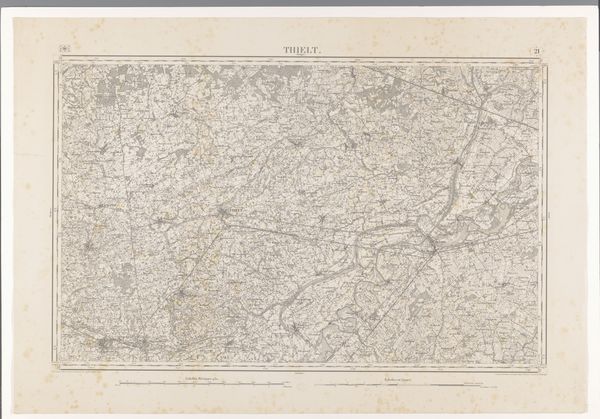
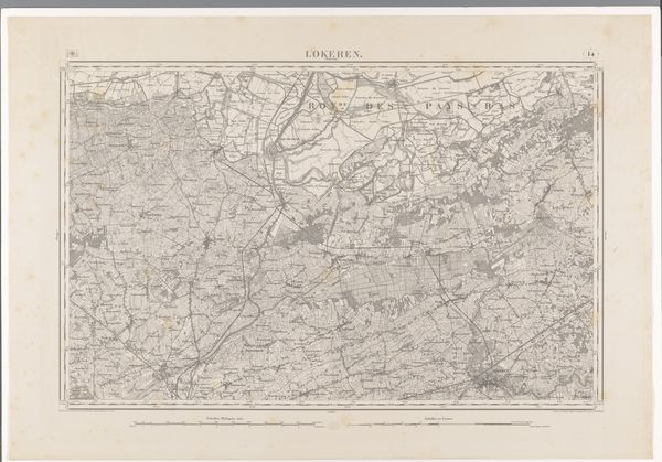
Dimensions: height 663 mm, width 958 mm
Copyright: Rijks Museum: Open Domain
Editor: Here we have "Kaart van het gebied ten zuidoosten van Gent," a map made in 1869 using ink and etching techniques. Looking at all those delicate lines, I'm struck by how this functional document has its own austere beauty. How would you interpret this piece as an image rather than just a guide? Curator: Indeed. It’s a fascinating confluence of function and symbol. What strikes me is the deep human desire to map, to order, and therefore, to understand our world. This map is not merely a geographical document; it is an act of claiming, a visual representation of power and control over the territory. Editor: Power and control... So the act of creating this image serves to assert authority? Curator: Precisely. Consider the level of detail, the careful rendering of boundaries, roads, and waterways. These aren't neutral observations; they're intentional markers loaded with meaning. Roads symbolize connection, waterways, resources. And boundaries? Those can represent anything from property lines to political division and separation, shaping how we move, interact, and perceive 'us' and 'them.' Even the very absence of some features and overemphasis on others betrays intentional messaging. Editor: That’s a compelling point. I hadn’t considered how selective mapmaking could be. This isn't just about directions. Curator: No. The cultural memory embedded in maps reveals much about a society's values. Does the size and emphasis given to certain features denote their true prominence, or a projection of cultural importance? Do you see anything unusual or perhaps contradictory? Editor: Looking closer, some settlements appear much larger, almost glorified. So it is a very subjective way to represent a geographical territory. I’ll definitely look at maps differently now. Curator: As will I. There are ever new patterns and symbols to observe.
Comments
No comments
Be the first to comment and join the conversation on the ultimate creative platform.
More like this