drawing, coloured-pencil, paper
#
drawing
#
coloured-pencil
#
landscape
#
river
#
paper
#
coloured pencil
#
cityscape
Dimensions: height 162 mm, width 236 mm
Copyright: Rijks Museum: Open Domain
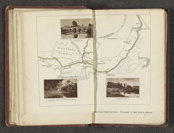
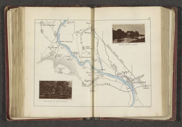
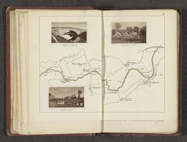
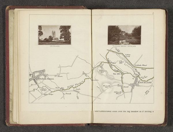
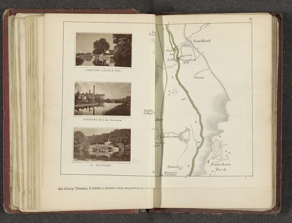
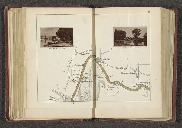
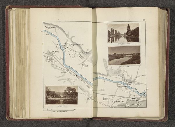
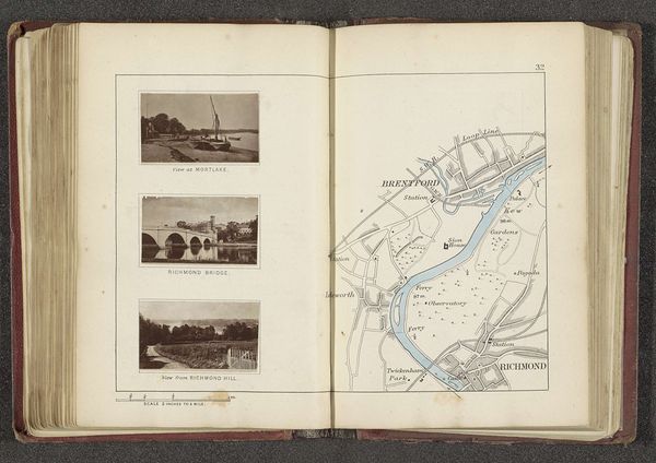
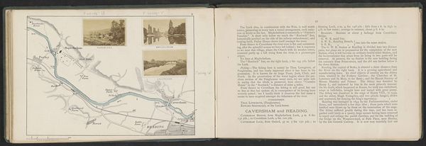
This map, paired with images of Inglesham and Lechlade along the Thames, crafted by Henry W. Taunt, speaks to us of a world seen and measured. Consider the waterways depicted. Rivers, since antiquity, have symbolized the flow of life, boundaries, and the relentless march of time. Think of the Euphrates and Tigris in Mesopotamian art, cradles of civilization themselves. The church spires punctuate the horizon, not unlike the obelisks of ancient Egypt, reaching towards the heavens, anchoring the spiritual aspirations of the community. This reaching for the divine, a constant striving across cultures and epochs. Notice how these symbols—water, and church—persist, yet their meaning shifts with each telling, each artist's hand. The collective memory imprints itself upon these images, and we, as viewers, participate in their ongoing evolution. Their emotional resonance is undeniable, a tug at the subconscious, reminding us of our own fleeting existence within the grand tapestry of time.
Comments
No comments
Be the first to comment and join the conversation on the ultimate creative platform.
More like this