Curatorial notes
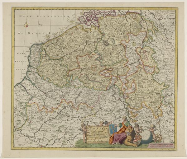
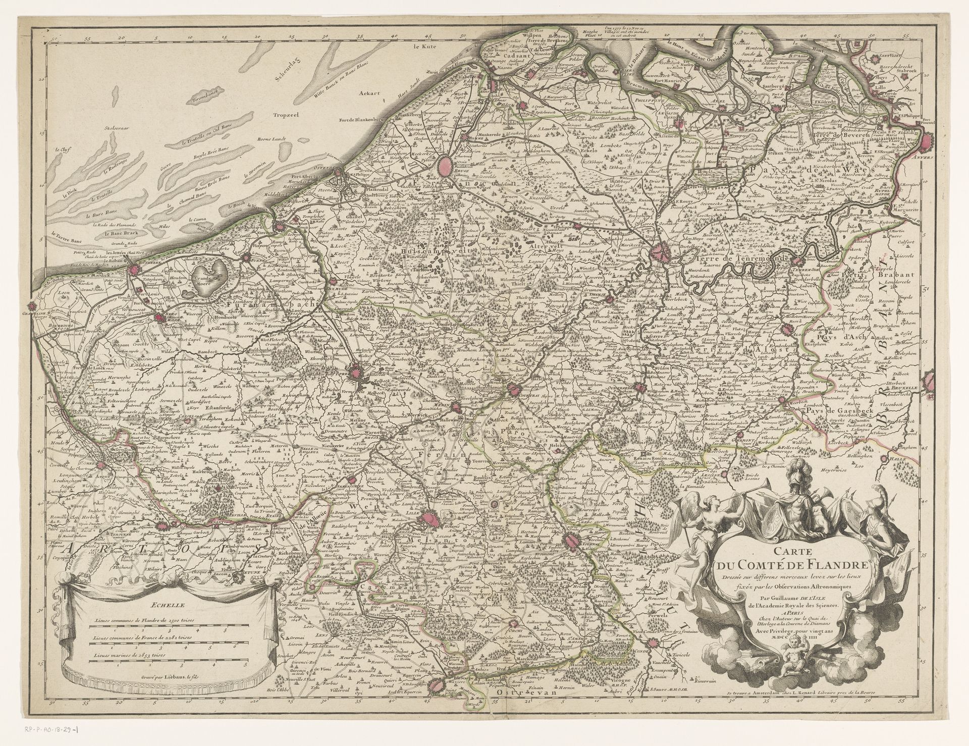
Curator: This engraving from 1704 is titled "Kaart van het graafschap Vlaanderen," or "Map of the County of Flanders," attributed to Henri Liebaux. It's quite detailed. Editor: Intricate! A sprawling network of lines creates this aged landscape; I'm struck by its overwhelming density. I imagine the hours spent etching each tiny village and waterway. Curator: The fine lines, achieved through the engraving process, allow for precise representation and the dense accumulation of detail you observed. Semiotically, we can consider this not merely a cartographical exercise but an assertion of territorial control and knowledge. Editor: Precisely. How were these maps made? Think of the surveyor's tools, the paper, ink, and the press itself. I see this print less as pure geometry and more as a manufactured object tied to 18th-century economies and political power. Curator: You make an important point about its creation being linked to societal structures. But also note how the formal elements work together—the consistent use of line, the structured lettering, the embellishments. They create a visually cohesive whole that transcends pure utility. The scale also invites closer inspection; notice how one examines various regions. Editor: True, and the cartouche at the bottom is fascinating—such ornamentation, clearly hand-drawn, contrasting against what might seem like mechanically produced information. These are human choices impacting our perception. Who was commissioning these works, and how were they disseminated? That influences design and use. Curator: Well, considering the date, one can appreciate how it reflects baroque aesthetics adapted to informational representation, in a style echoing scientific precision—despite not always achieving accuracy by modern standards, it functioned didactically at that time. Editor: So much comes down to labor and production value within its historic economy, something easily missed by ignoring what and whom it took to realize these ambitious documents. Curator: That attention reveals complex elements, but I maintain we cannot overlook how formal construction guides historical value for us to interpret in turn. Editor: Perhaps through interrogating its materials and manufacturing we access greater political impact across its many possible viewers over time.