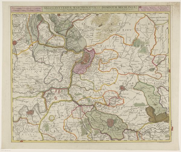
print, etching, engraving
#
baroque
# print
#
etching
#
etching
#
geometric
#
history-painting
#
engraving
Dimensions: height 204 mm, width 271 mm
Copyright: Rijks Museum: Open Domain
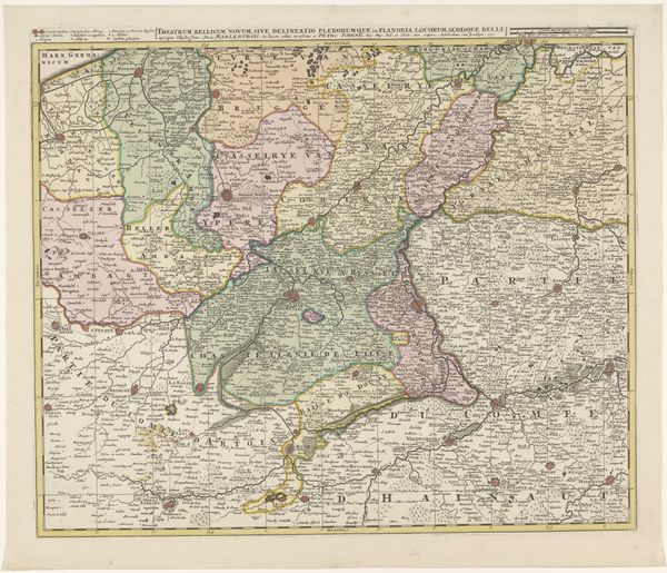
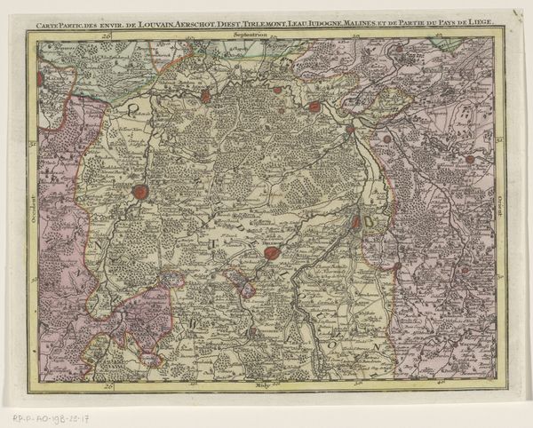
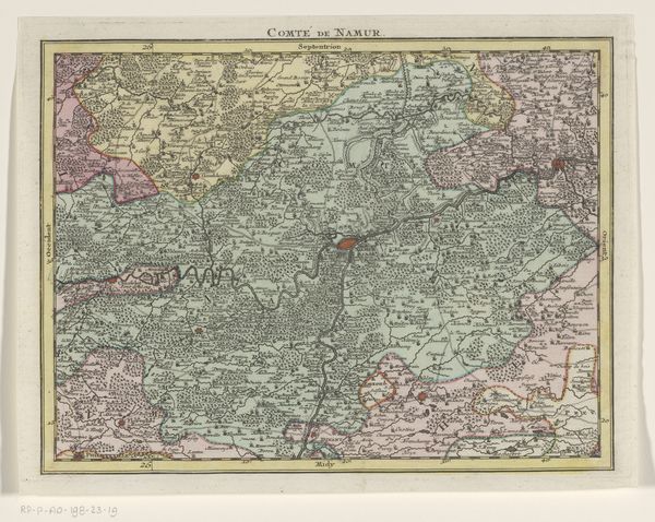
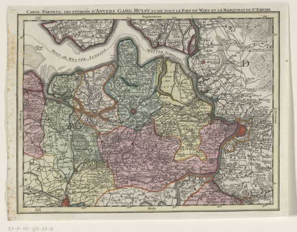
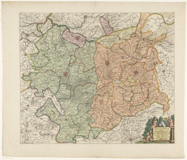
Editor: This is "Part of a Map of the Austrian Netherlands," dating from between 1737 and 1757, created by Tobias Conrad Lotter using etching and engraving. The detail is incredible, but honestly, it looks like a tangled web to me. What do you see in this piece? Curator: Well, first off, don't let the apparent chaos fool you. It's a controlled chaos, very Baroque! Imagine this not just as a map, but as a power statement. Every line, every meticulously rendered tree and village, declares ownership and control. It whispers, "Look how precisely we know and therefore, rule this land!" I wonder if Lotter was ever actually there! Editor: A power statement, okay. I didn't think of it that way. So the details weren't just for navigation then? Curator: Navigation, yes, but think about the audience. Who commissioned this? Likely some aristocratic military strategist. He'd use it to visualise terrains of war, to conquer territories... Or perhaps to feel like they owned it already, to possess this landscape from the comfort of their chandelier-lit chamber. Editor: So it's functional, but also aspirational? Almost... artistic? Curator: Precisely! Look at the font, the decorative cartouches that once were so loved... All part of the aesthetic. Imagine having to lug these gigantic, ornately decorated maps around to conquer villages! Utter madness, in a delicious way. I love the commitment. Don’t you just get an odd sense of admiration for the cartographer’s life through all the precise small marks in this image? Editor: I guess I do, now! I never thought a map could be so...loaded. Thanks! Curator: It’s all in the details – and how we read them! Maps have hidden truths behind that legend. They can speak loudly if we take the time to listen.
Comments
No comments
Be the first to comment and join the conversation on the ultimate creative platform.
More like this