print, engraving
#
baroque
# print
#
landscape
#
history-painting
#
engraving
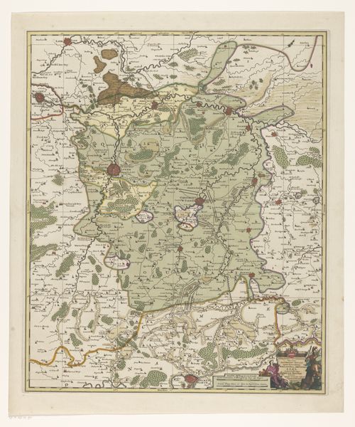
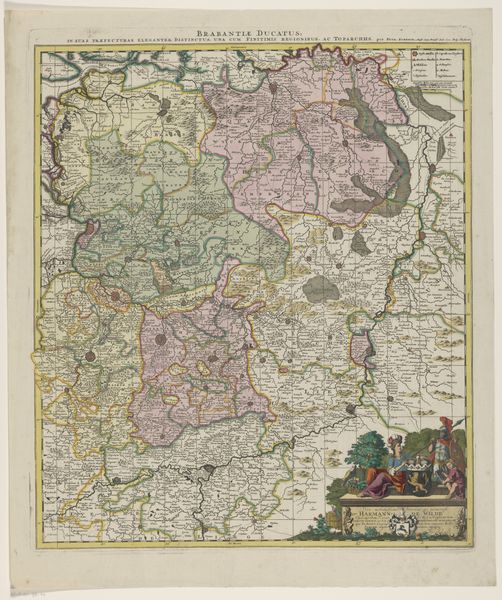
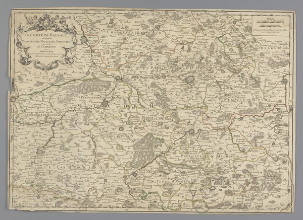
Dimensions: height 600 mm, width 505 mm
Copyright: Rijks Museum: Open Domain
This is an anonymous map of the Duchy of Brabant, likely made in the 17th century. At the time, the Duchy of Brabant encompassed a region that spans parts of modern-day Belgium and the Netherlands. Now, maps weren't just about geography, they were powerful political statements. This map reflects the complex political landscape of the time, with Brabant caught between different powers, including the Habsburgs and the Dutch Republic. Cartography was a tool of statecraft, used to define territories, assert claims, and project power. The institutional context is key: maps like these were often commissioned by rulers or wealthy merchants. To understand this map fully, we'd need to delve into the archives, examine similar maps, and trace the changing boundaries of Brabant through history. By understanding the social conditions that produced this map, we can unlock its deeper meanings and appreciate its significance as a historical artifact.
Comments
No comments
Be the first to comment and join the conversation on the ultimate creative platform.
More like this