Kaart van het Hoogheemraadschap van Schieland 1611 - 1635
0:00
0:00
balthasarfloriszvanberckenrode
Rijksmuseum
mixed-media, painting, watercolor
#
mixed-media
#
dutch-golden-age
#
painting
#
landscape
#
watercolor
#
map making
#
natural palette
#
mixed medium
#
watercolor
Dimensions: height 940 mm, width 1556 mm
Copyright: Rijks Museum: Open Domain
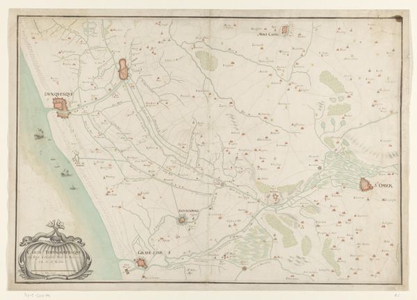
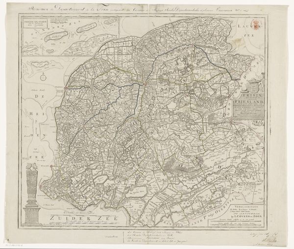
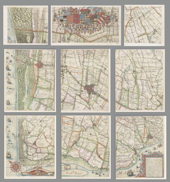
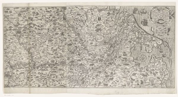
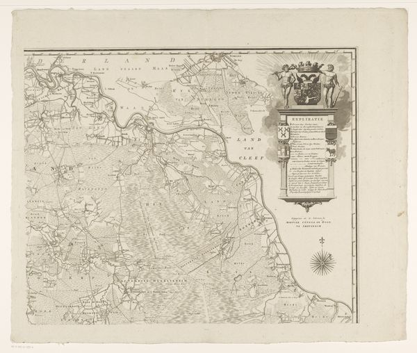
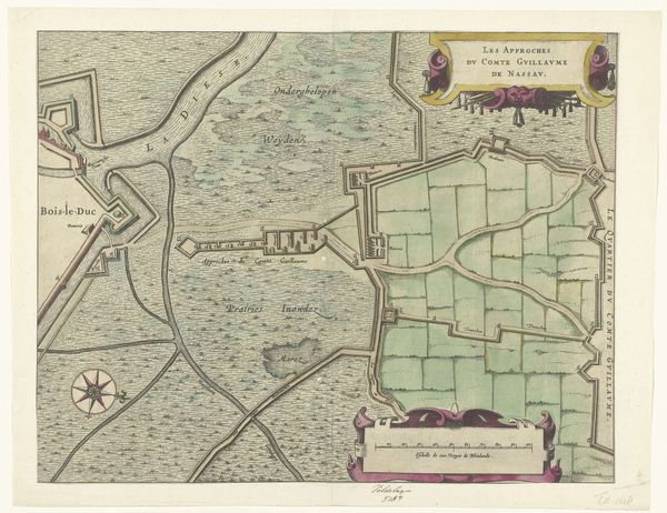
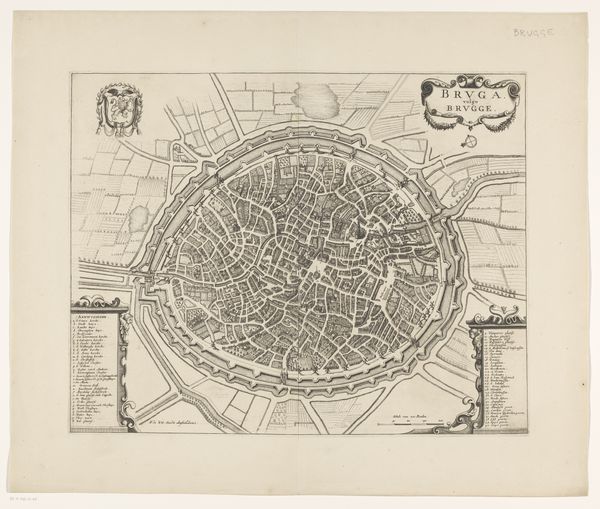
Balthasar Florisz. van Berckenrode created this map of the Hoogheemraadschap of Schieland, but the exact date of its creation is unknown. The map is made of paper, with ink applied using a quill or reed pen, and watercolors added by hand. Though maps are functional objects, this one is also a highly aestheticized artifact. The even lines of the plotted landscape stand in contrast to the flowing script. Consider the division of labor in the map’s creation: cartographers, surveyors, scribes, and draughtsmen, all contributing to the final product. Maps like these were not just representations of space, but instruments of power. They helped to order the world, enabling new forms of property ownership, resource extraction, and territorial control. So next time you look at a map, remember that it's not just a neutral depiction of reality. It's a carefully crafted object, shaped by the materials, the making, and the social context in which it was created.
Comments
No comments
Be the first to comment and join the conversation on the ultimate creative platform.
More like this