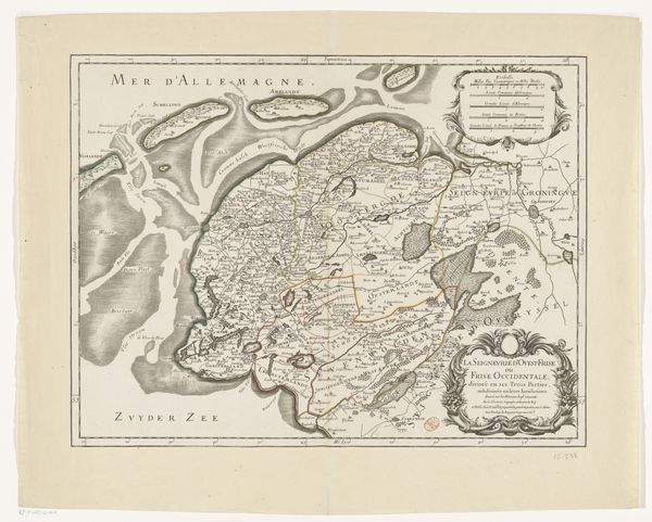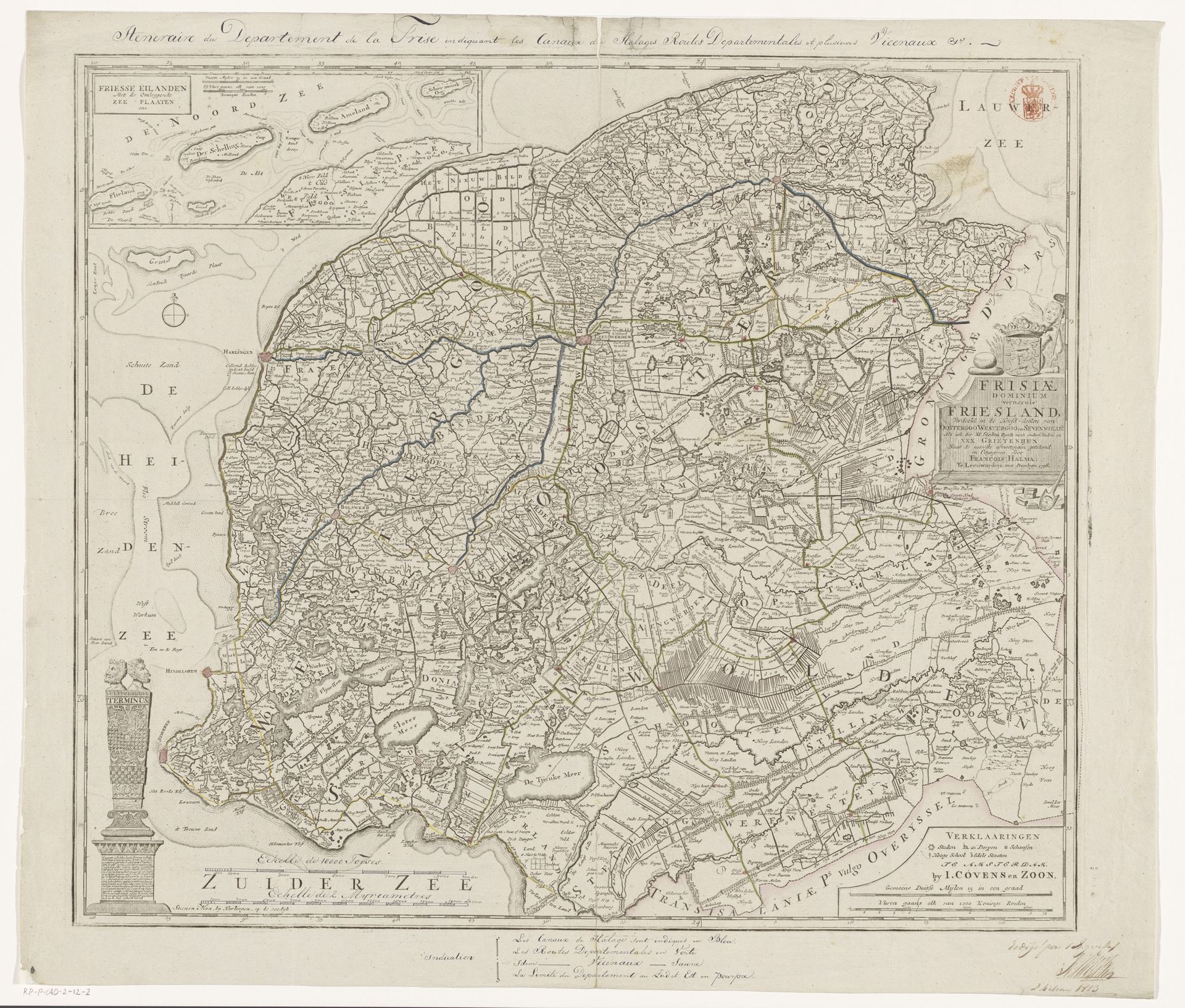
Curatorial notes
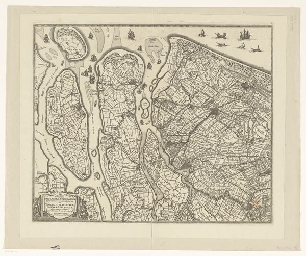
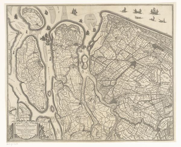
This map of Friesland was made by an anonymous artist using traditional printmaking techniques on paper. Look closely, and you'll see the incredibly fine lines that define the region's waterways and territories. The process of creating such a detailed map would have been painstaking, involving careful engraving, and multiple stages of printing to achieve the precise imagery. Each line, each mark, meticulously placed to represent the landscape. This speaks to the social context of mapmaking. Such maps weren't just about geographical accuracy, they were also about power, control, and ownership. They served the interests of trade, navigation, and administration. The map embodies both the artistry of the printmaker, and the political imperatives of the time. It challenges our definitions of fine art versus craft.