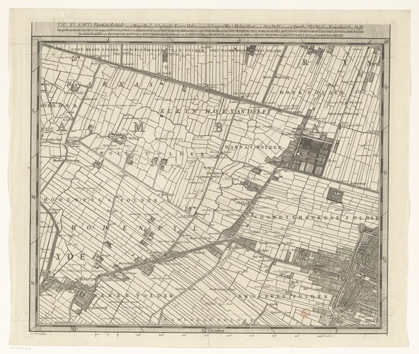
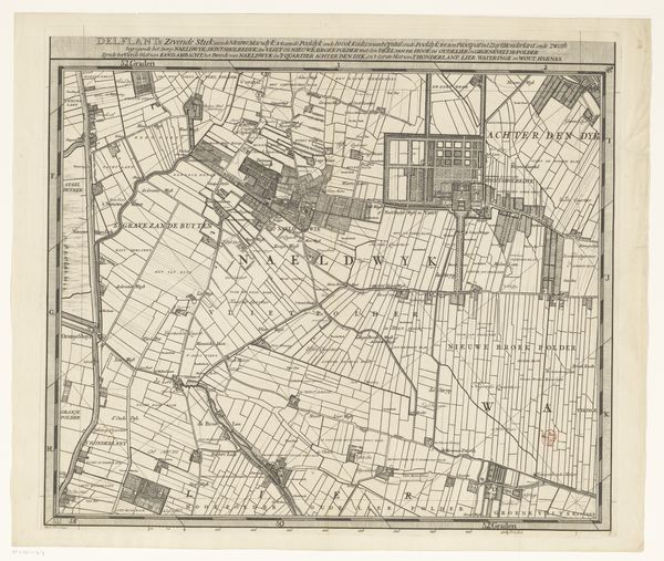
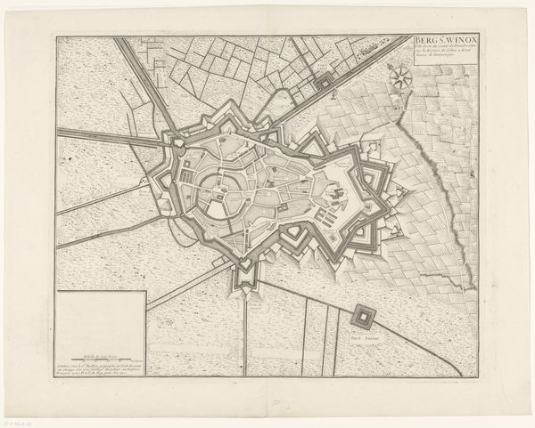
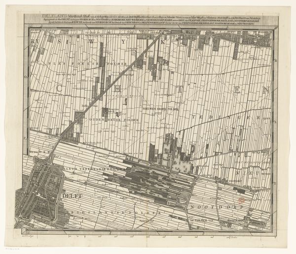
drawing, etching, pen
#
drawing
#
baroque
#
etching
#
landscape
#
pen work
#
pen
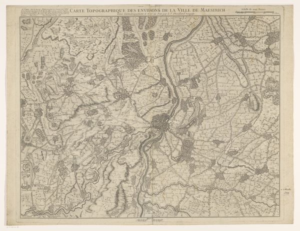
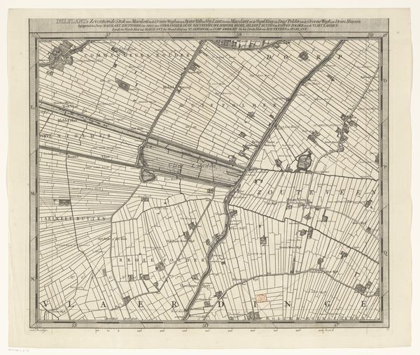
Dimensions: height 625 mm, width 858 mm
Copyright: Rijks Museum: Open Domain
Editor: This is Riolet’s "Map of the surroundings of Saint-Denis," created around 1740 using pen and etching. The detail is really incredible, and you can see the area's geography and settlement patterns so clearly. How do you interpret the visual language being used here? Curator: This map whispers of power and control. Look closely. The etches aren't just lines; they are carefully constructed symbols of dominion. Do you notice how prominent Saint-Denis is, almost enthroned amidst the surrounding landscape? Editor: I do, it's definitely centered, and larger than the other towns. Curator: Exactly! The map becomes more than just a representation of geography. Consider, also, how the layout echoes a kind of feudal order, where all roads literally lead to, and seemingly emanate from Saint-Denis. Are those paths purely functional, or do they reinforce a center-periphery relationship? Editor: That's interesting, like it is literally the heart of the area, the paths serving it like veins and arteries. Do you think that’s an intentional message? Curator: Intention is everything. Notice how strategically placed are symbols of settlement. This is not objective recording; this is carefully crafting an image of influence. The map presents a worldview: a structured society radiating from a central power. What modern-day examples echo similar messaging? Editor: Hmm, now that you mention it, corporate organization charts do something similar – a CEO at the top with all the departments flowing down… Curator: Precisely! What we have here is an assertion of authority embedded in cartography, echoing across centuries. Editor: I’ll never look at a map the same way again!
Comments
No comments
Be the first to comment and join the conversation on the ultimate creative platform.
More like this