drawing, print, etching
#
drawing
# print
#
etching
#
landscape
#
etching
#
geometric
#
geometric-abstraction
#
cityscape
Dimensions: height 373 mm, width 580 mm
Copyright: Rijks Museum: Open Domain
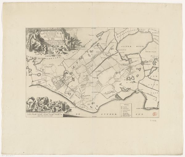
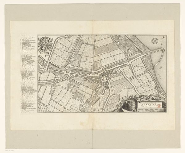
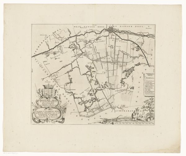
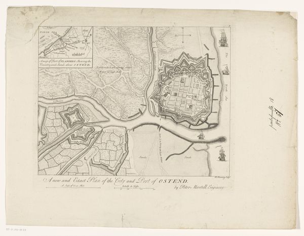
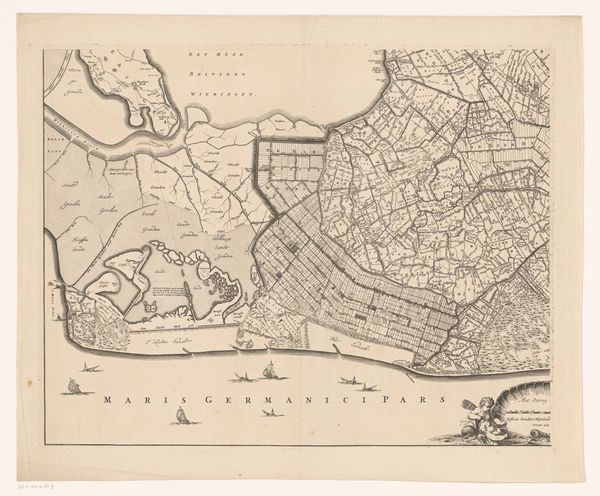
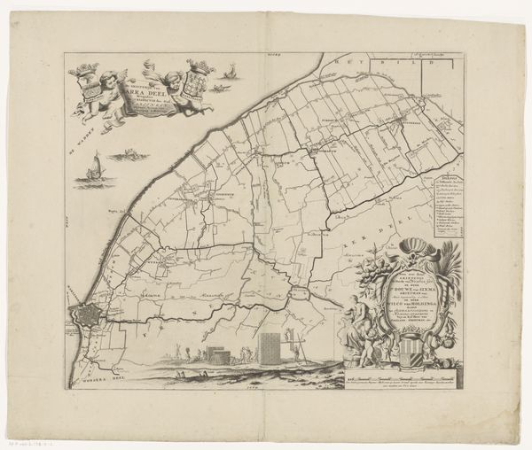
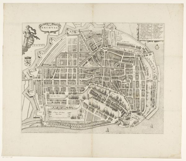
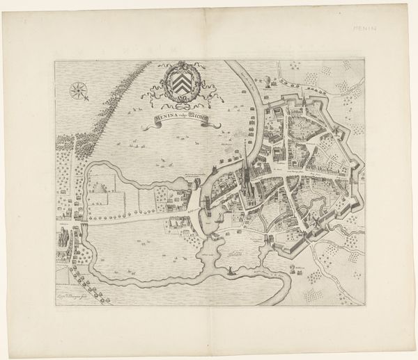
This is an anonymous print titled Vestingplattegrond van Duinkerke, made in 1712. Maps aren't neutral documents. They reflect power, control, and a very specific viewpoint. This map of Dunkirk, made during a time of frequent conflict in Europe, highlights the city's fortifications, a clear indication of the strategic and military interests at play. What does it mean to map a place for the purposes of military strategy? Whose lives are being taken into consideration? Whose are not? The map's detail suggests not just a geographical rendering but also a social one. As you look closer, consider who had access to such knowledge and how it might affect their power and privilege, but also their feelings of safety. The lines and structures signify dominance and a desire for control. What stories are left out of this representation? What personal and communal experiences existed within those walls and waterways? How did the people of Dunkirk understand their home in times of peace and war? The map invites us to reflect on how landscapes are not just geographical, but also deeply human and emotional spaces, shaped by conflict and resilience.
Comments
No comments
Be the first to comment and join the conversation on the ultimate creative platform.
