About this artwork
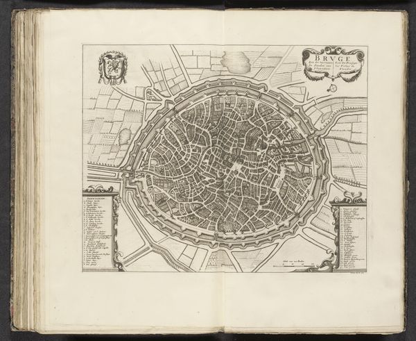
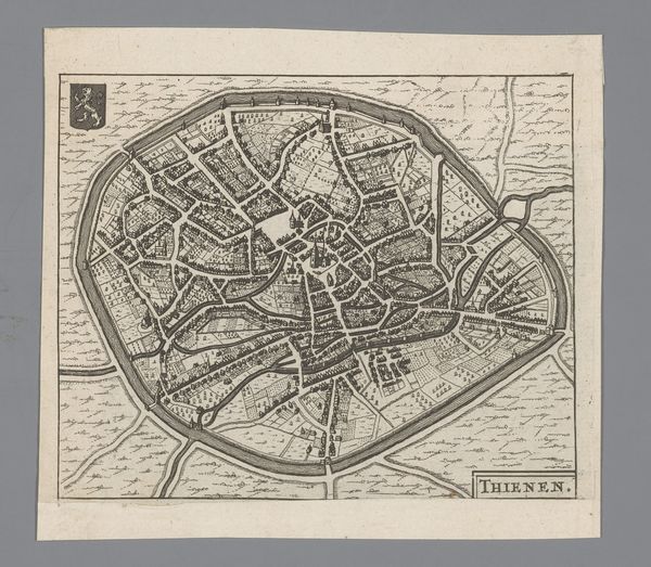
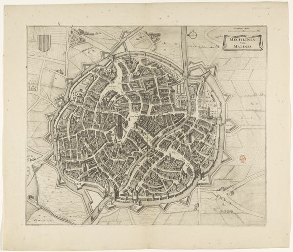
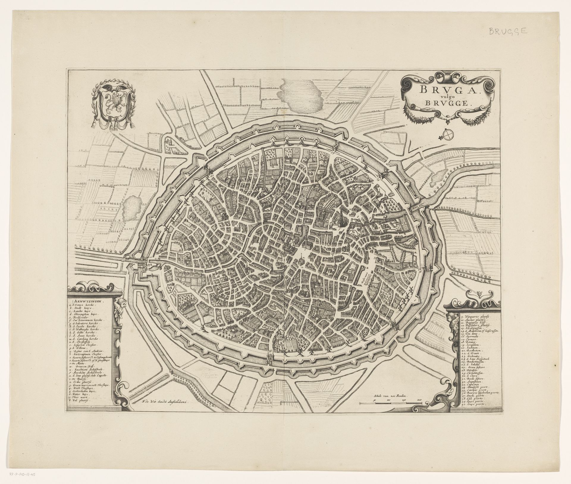
This is an undated, anonymous map of Brugge in the Rijksmuseum. The city is enclosed in a ring of fortifications, giving the sense of a secure, self-contained world. In early modern Europe, maps like these were more than geographical tools; they were assertions of power and identity. Who gets to represent a place, and how, is always a political question. The very act of mapping can be seen as an exercise in control, defining boundaries, trade routes, and even cultural narratives. What stories does this map tell, and whose voices are left out? The map reduces the city to a series of lines and landmarks, abstracting the lived experiences of its inhabitants, particularly those marginalized by gender or class. What would a map of Brugge look like if it were drawn from the perspective of a woman, a worker, or an enslaved person? How might their daily lives challenge the ordered representation of the city presented here? This anonymous map serves as a reminder that every representation is a choice, a story told from a particular point of view.
Artwork details
- Medium
- drawing, print, ink, engraving
- Dimensions
- height 404 mm, width 511 mm
- Location
- Rijksmuseum
- Copyright
- Rijks Museum: Open Domain
Tags
Comments
Share your thoughts
About this artwork
This is an undated, anonymous map of Brugge in the Rijksmuseum. The city is enclosed in a ring of fortifications, giving the sense of a secure, self-contained world. In early modern Europe, maps like these were more than geographical tools; they were assertions of power and identity. Who gets to represent a place, and how, is always a political question. The very act of mapping can be seen as an exercise in control, defining boundaries, trade routes, and even cultural narratives. What stories does this map tell, and whose voices are left out? The map reduces the city to a series of lines and landmarks, abstracting the lived experiences of its inhabitants, particularly those marginalized by gender or class. What would a map of Brugge look like if it were drawn from the perspective of a woman, a worker, or an enslaved person? How might their daily lives challenge the ordered representation of the city presented here? This anonymous map serves as a reminder that every representation is a choice, a story told from a particular point of view.
Comments
Share your thoughts