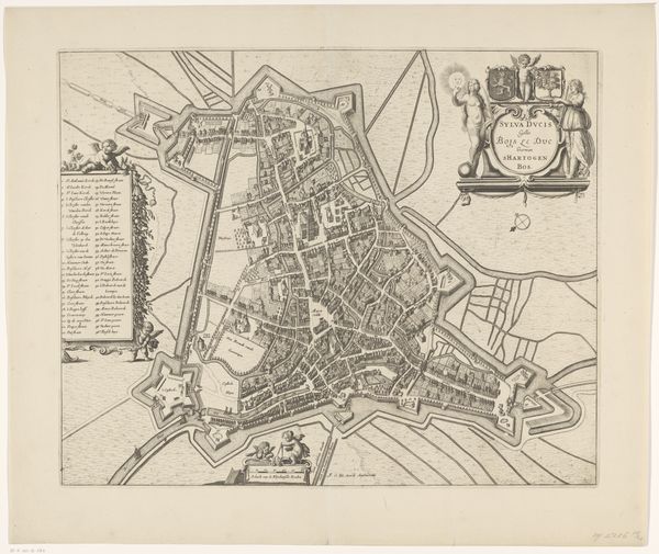
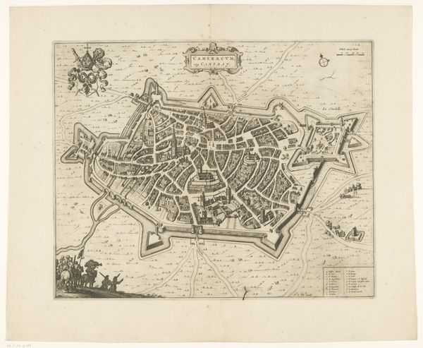
drawing, graphic-art, print, intaglio, engraving
#
drawing
#
graphic-art
#
baroque
# print
#
intaglio
#
cityscape
#
engraving
Dimensions: height 395 mm, width 496 mm
Copyright: Rijks Museum: Open Domain
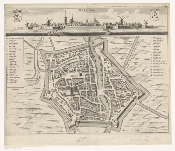
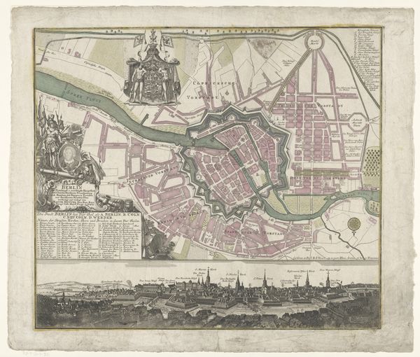
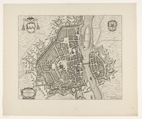
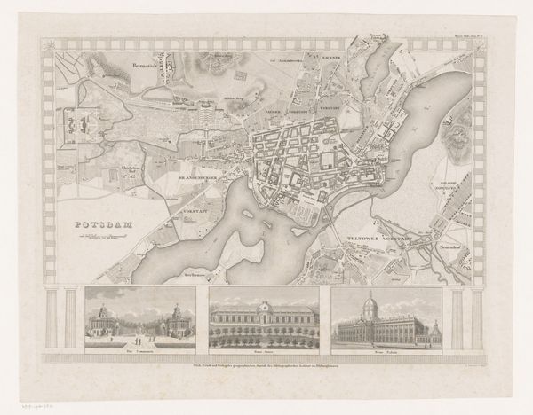
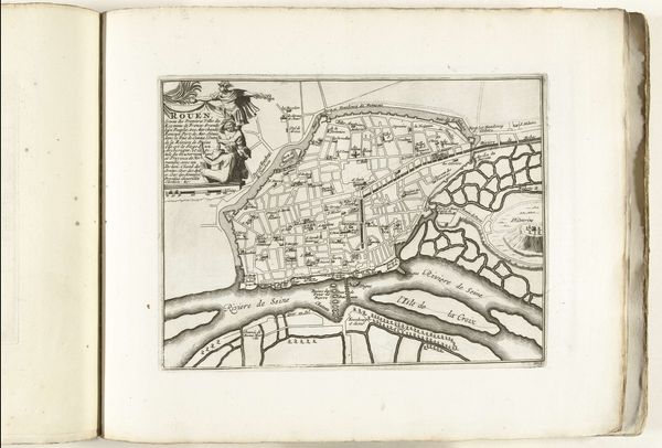
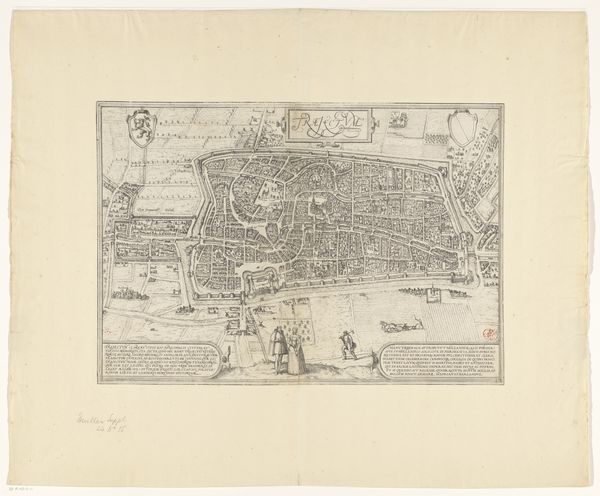
This is Vedastus du Plouich’s “Plattegrond van Ieper”, made using an engraving technique. The sharp, precise lines that define the buildings, walls, and waterways of this map weren't drawn directly. Instead, they were carved into a metal plate, likely copper, using a tool called a burin. Ink would then be applied to the plate, pressed onto paper, leaving behind a permanent impression. Engraving like this was meticulous, skilled work. Think about the labor involved in creating such a detailed image, each line representing hours of focused effort by a trained artisan. This wasn't just about accurately depicting the city, it was also a display of technical prowess, a testament to the engraver's mastery of their craft. Maps like these were produced in multiples in early modern Europe and sold to a rising merchant and aristocratic class. But it is also useful to think of engraving as a technology in its own right, a means of disseminating information and shaping perceptions of the world, tied to commercial economies. The very act of its making gives it meaning and historical significance.
Comments
No comments
Be the first to comment and join the conversation on the ultimate creative platform.
More like this